


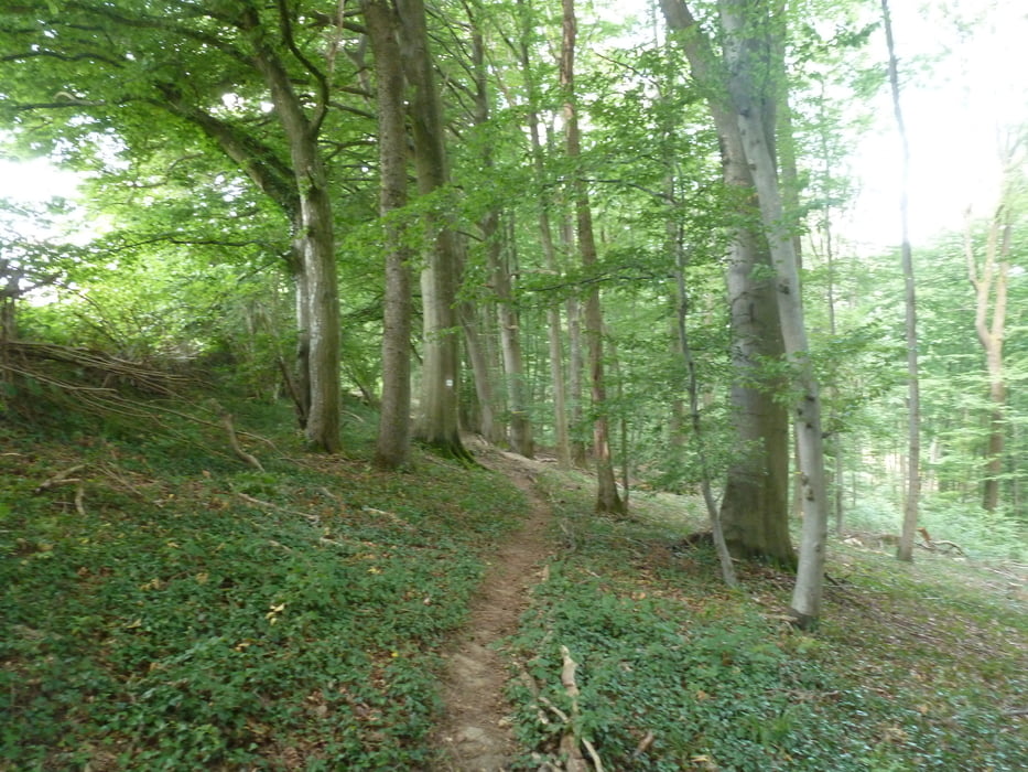
Eine weitere "Traumschleife" im Gebiet Saar/Rheinland-Pfalz, die an der historischen Burganlage Freudenburg startet und unter anderem durch das Leuktal mit seiner imposanten Felsenlandschaft und das Naturschutzgebiet "Eiderberg" führt.
Further information at
https://wanderwege-trier.deTour gallery


Tour map and elevation profile
Minimum height 214 m
Maximum height 443 m
More about the tour author

|
Wanderkarin |
Comments

Ab Trier über die B51 Richtung Saarburg.Ab Saarburg über die B 407 nach Trassem. Dann über die Landstraße bis nach Freudenburg. Parkplatz direkt an der Burg.
ACHTUNG! Zur Zeit (Stand 8/2019; Dauer bis mind. Ende des Jahres) ist die direkte Anfahrt ab Trier über die B51 kurz hinter Saarburg wegen umfangreicher Bauarbeiten gesperrt! Eine Umleitung ist ausgeschildert. Diese führt sehr weitläufig über die Ortschaften Meurich, Portz, Merzkirchen (Landstraße 132) und Kahren (Kreisstraße 121). Mehr Zeit einplanen!
GPS tracks
Trackpoints-
GPX / Garmin Map Source (gpx) download
-
TCX / Garmin Training Center® (tcx) download
-
CRS / Garmin Training Center® (crs) download
-
Google Earth (kml) download
-
G7ToWin (g7t) download
-
TTQV (trk) download
-
Overlay (ovl) download
-
Fugawi (txt) download
-
Kompass (DAV) Track (tk) download
-
Track data sheet (pdf) download
-
Original file of the author (gpx) download
More about the tour author
|
|
Wanderkarin |
Add to my favorites
Remove from my favorites
Edit tags
Open track
My score
Rate