St. Nikolaus Ultental-St. Gertraud-Kirchberg Kaser-Rabbijoch-
Rif. Stella Alpina-Malga Caldesa-Rabbi-Terzolas-Pozzo de la As-
Passo le Fraine-Cles Tuenno
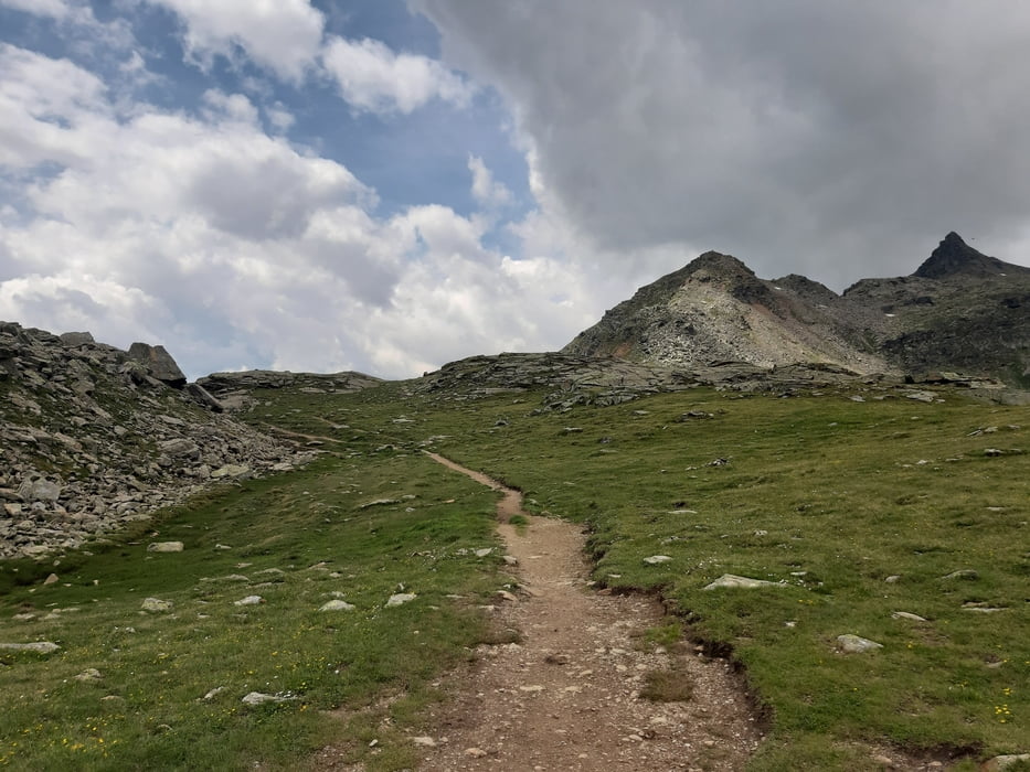
Auf der Straße leicht ansteigend bis St. Gertraud. Dann links rauf Rg Rabbijoch. Bis tzur Kaseralm gut fahrbar, nachher wird's sehr steil. Nach dem Rabbijoch beginnt ein toller singletrail bis zur Malga Palu. Von da wieder Schotter. Bei der Malga Caldesa ein typisches Mittagessen der Gegend mit eigenen Produkten. Die lange Abfahrt bringen die Bremsen zum Glühen - Backentausch! Der 2. Berg des Tages ist anfangs auch gut fahrbar, erst die letzten 400 hm wird es meist zu grob und steil zum Fahren. Abfahrt sehr schön: Schotter und dann Asphalt. Quartier Garni Ferari sehr freundlich (Empfangsgratisbier!), günstig und gut!
Auf der Straße leicht ansteigend bis St. Gertraud. Dann links rauf Rg Rabbijoch. Bis tzur Kaseralm gut fahrbar, nachher wird's sehr steil. Nach dem Rabbijoch beginnt ein toller singletrail bis zur Malga Palu. Von da wieder Schotter. Bei der Malga Caldesa ein typisches Mittagessen der Gegend mit eigenen Produkten. Die lange Abfahrt bringen die Bremsen zum Glühen - Backentausch! Der 2. Berg des Tages ist anfangs auch gut fahrbar, erst die letzten 400 hm wird es meist zu grob und steil zum Fahren. Abfahrt sehr schön: Schotter und dann Asphalt. Quartier Garni Ferari sehr freundlich (Empfangsgratisbier!), günstig und gut!
Further information at
http://www.garnicastelferari.it/Tour gallery
Tour map and elevation profile
Minimum height 669 m
Maximum height 2470 m
Comments

Start in St. Nikolaus Hotel St. Nikolaus.
GPS tracks
Trackpoints-
GPX / Garmin Map Source (gpx) download
-
TCX / Garmin Training Center® (tcx) download
-
CRS / Garmin Training Center® (crs) download
-
Google Earth (kml) download
-
G7ToWin (g7t) download
-
TTQV (trk) download
-
Overlay (ovl) download
-
Fugawi (txt) download
-
Kompass (DAV) Track (tk) download
-
Track data sheet (pdf) download
-
Original file of the author (gpx) download
Add to my favorites
Remove from my favorites
Edit tags
Open track
My score
Rate


