


Torbole-Arco-Drena-Lasino-Lagolo-Pra Vaiolo-
Malga Brigolina-Trento
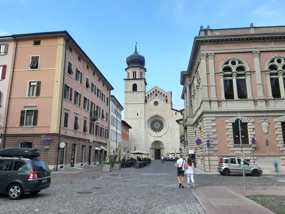
Radweg nach Arco. Bald geht’s in die Obstgärten mit schon durchaus anspruchsvollen trails (Garda Trek medium). In Drena bin ich dann wieder in die Botanik: sehr schweißtreibendes Geschiebe. Tw absurde Steige, die wohl schon Leute bergab machen… Nach Lasino wieder sehr steil und schwieriger Untergrund, trotzdem einiges gefahren. Mittendrin in der Schiebepassage setzt der erste echte Regen dieser TA ein. Ab Lagolo beginnt ein Forstweg mit erdigem Untergrund und menschlicher Steigung: herrlich. Zuletzt wieder schwere Schiebung. Weit oben hab ich liebe Einheimische getroffen. Runter alles gut fahrbar. Quartier: Youth Hostel Trento, NF 35€ - günstig.
Radweg nach Arco. Bald geht’s in die Obstgärten mit schon durchaus anspruchsvollen trails (Garda Trek medium). In Drena bin ich dann wieder in die Botanik: sehr schweißtreibendes Geschiebe. Tw absurde Steige, die wohl schon Leute bergab machen… Nach Lasino wieder sehr steil und schwieriger Untergrund, trotzdem einiges gefahren. Mittendrin in der Schiebepassage setzt der erste echte Regen dieser TA ein. Ab Lagolo beginnt ein Forstweg mit erdigem Untergrund und menschlicher Steigung: herrlich. Zuletzt wieder schwere Schiebung. Weit oben hab ich liebe Einheimische getroffen. Runter alles gut fahrbar. Quartier: Youth Hostel Trento, NF 35€ - günstig.
Further information at
https://www.german.hostelworld.com/hosteldetails.php/New-International-Youth-Hostel-Giovane-Europa/Trento/11588Tour gallery


Tour map and elevation profile
Minimum height 63 m
Maximum height 1480 m
More about the tour author
|
|
mitter |
Comments

Start in Torbole, Hotel Geier.
GPS tracks
Trackpoints-
GPX / Garmin Map Source (gpx) download
-
TCX / Garmin Training Center® (tcx) download
-
CRS / Garmin Training Center® (crs) download
-
Google Earth (kml) download
-
G7ToWin (g7t) download
-
TTQV (trk) download
-
Overlay (ovl) download
-
Fugawi (txt) download
-
Kompass (DAV) Track (tk) download
-
Track data sheet (pdf) download
-
Original file of the author (gpx) download
More about the tour author
|
|
mitter |
Add to my favorites
Remove from my favorites
Edit tags
Open track
My score
Rate