


Trento-Maso Begomini-Pozze-Muraion-Quattro strade-
Prà della Saeta-Lago di Santa Colomba-Plan del Gac-Fornace-
Maso Donati-Basalga di Pinè-Miola-Dosso di Costalta-
Malga Cambroncoi-Passo del Redebus-Centrale-Brusago
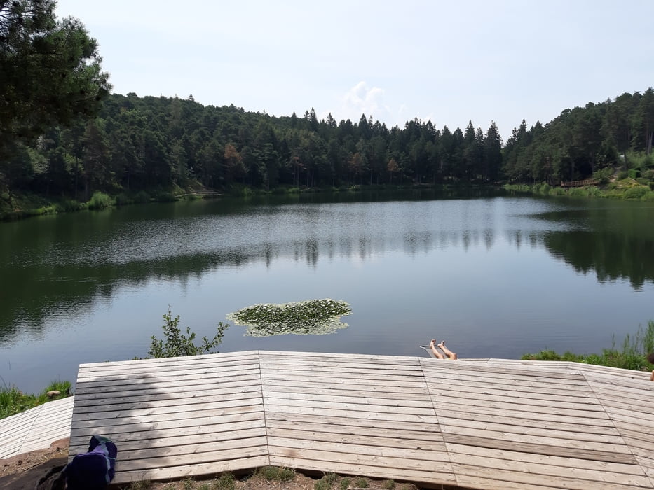
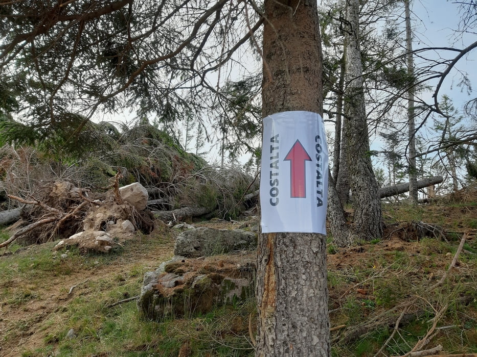
Eine Traumetappe! Von der Stadt weg gewinnt man schnell an Höhe. Eine Querung ist zu schieben, ca 20'. Dann wieder steil, zunächst Asphalt und bald ein wunderbarer Waldweg, einige km leicht bergauf, -ab. Beim Naturjuwel Lago di Santa Colomba mache ich Rast. Dann runter bis Maso Donati. Eine fürchterliche Bergaufschiebung lasse ich gleich wieder sein und nehme dafür die Straße. Von Baselga beginnt dann der steile Anstieg zum Dosso di Costalta. Bis ca 200 hm unterm Gipfel sehr gut fahrbar. Oben toller Rundblick! Runter werde ich schon bald vom Windwurf (Oktober 2018) umgeleitet - zum Glück ist der Umweg beschildert! Abenteuer muss sein. Ab Malga Combroncoi auf Schotter, ab Passo Redebus Asphalt. Quartier: Hotel Monte Croce, HP50€ - super!
Eine Traumetappe! Von der Stadt weg gewinnt man schnell an Höhe. Eine Querung ist zu schieben, ca 20'. Dann wieder steil, zunächst Asphalt und bald ein wunderbarer Waldweg, einige km leicht bergauf, -ab. Beim Naturjuwel Lago di Santa Colomba mache ich Rast. Dann runter bis Maso Donati. Eine fürchterliche Bergaufschiebung lasse ich gleich wieder sein und nehme dafür die Straße. Von Baselga beginnt dann der steile Anstieg zum Dosso di Costalta. Bis ca 200 hm unterm Gipfel sehr gut fahrbar. Oben toller Rundblick! Runter werde ich schon bald vom Windwurf (Oktober 2018) umgeleitet - zum Glück ist der Umweg beschildert! Abenteuer muss sein. Ab Malga Combroncoi auf Schotter, ab Passo Redebus Asphalt. Quartier: Hotel Monte Croce, HP50€ - super!
Further information at
http://www.hotelmontecroce.it/Tour gallery


Tour map and elevation profile
Minimum height 282 m
Maximum height 1956 m
More about the tour author
|
|
mitter |
Comments

Start in Trient Youth Hostel, in der Nähe vom Bahnhof.
GPS tracks
Trackpoints-
GPX / Garmin Map Source (gpx) download
-
TCX / Garmin Training Center® (tcx) download
-
CRS / Garmin Training Center® (crs) download
-
Google Earth (kml) download
-
G7ToWin (g7t) download
-
TTQV (trk) download
-
Overlay (ovl) download
-
Fugawi (txt) download
-
Kompass (DAV) Track (tk) download
-
Track data sheet (pdf) download
-
Original file of the author (gpx) download
More about the tour author
|
|
mitter |
Add to my favorites
Remove from my favorites
Edit tags
Open track
My score
Rate