


Tour führt von Stuttgart Kräherwaldstrasse rechts an Botnang vorbei in Richtung Schloss Solitude. Schloss Solitude streifend auf einem netten Single Trail in Richtung Brücke über die Wildparkstrasse. Von hier aus die Anfahrt Richtung favorisierten Single Trail am Bärensee. Diesen beendet nun in Richtung Katzenbacher See. Katzenbacher Hof in Sichtweite lassend wieder auf den Weg in Richtung Neuer See am Bärenschlössle. Von hier geht es ohne Umwege Richtung Stuttgart West über die B14 in Richtung Stuttgart Süd. Über eine schnelle Abfahrt mit 5`fachen Sprungmöglichkeiten gehts dann in Richtung Kaltental. Vor Kaltental jedoch wieder Berg auf zum Waldfriedhof. Vom Waldfriedhof rechts am Dornhaldenfriedhof über eine anspruchsvolle sehr grob geschotterte Auffahrt in Richtung Haltestelle Zahnradbahn, diese stellenweise mit Single Trail einlagen.
Von hier fahren wir über Teilabschnitte der Downhillstrecke in den Stuttgarter Kessel. Die Stadt über die Tübinger Strasse durchkreuzend in Richtung Liederhalle. Von hier wieder zum Ausgangspunkt (Stuttgart Kräherwald).
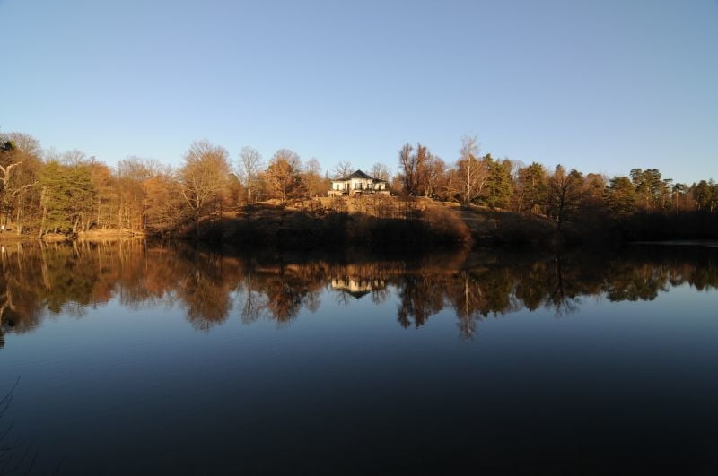
Tour gallery
Tour map and elevation profile
Minimum height 258 m
Maximum height 506 m
More about the tour author
|
|
scotthunter |
Comments
GPS tracks
Trackpoints-
GPX / Garmin Map Source (gpx) download
-
TCX / Garmin Training Center® (tcx) download
-
CRS / Garmin Training Center® (crs) download
-
Google Earth (kml) download
-
G7ToWin (g7t) download
-
TTQV (trk) download
-
Overlay (ovl) download
-
Fugawi (txt) download
-
Kompass (DAV) Track (tk) download
-
Track data sheet (pdf) download
-
Original file of the author (gpx) download
More about the tour author
|
|
scotthunter |
Add to my favorites
Remove from my favorites
Edit tags
Open track
My score
Rate
Tour