Login

Forgotten password?

Cookies have to be accepted!
Your browser's cookie functionality is disabled. Please enable this functionality.

Not a member yet?

Register now
Login

Available for registred users only

Log in to use this feature.

Forgotten password?

Cookies have to be accepted!
Your browser's cookie functionality is disabled. Please enable this functionality.

Not a member yet?

Register now
Filter
Categories
Advanced filters
  • Distance (km)
  • Height
Save filters Reset filter

TrackRank

QRCode

Technical data

Distance30,0 km Height602 m Way down602 m Duration02:00 h:m Date14.06.2008
Scores Author User Landscape Fun factor Fitness Technique

Statistics

1097 Views 3 Scores 229 Downloads 3.67 Average
Rate
  • Track data sheet
  • Directions
  • Downloads
Schöne Runde unter der Woche um Abends noch ein paar Meter zu machen. Belohnt wird man auf dem Hohenneuffen mit einem genialen Ausblick. Die Route geht von Tischardt über Frickenhausen nach Linsenhofen. Von Linsenhofen über Beuren und Balzholz Richtung Hohenneuffen. Es wird nicht auf der Strasse gefahren. 
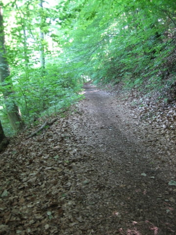
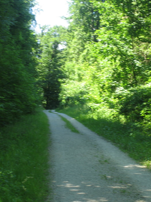
Nur Radwege, Forstwege und schöne Trails!!!

Tour gallery

Tour map and elevation profile

  • Open Street Map
  • Google
Minimum height 333 m Maximum height 741 m Detailed view

More about the tour author

freebiker
Member since 2008

Send private message

Comments

GunnarTUE on 17.05.2009

Wirklich lohnenswert!

Es lohnte sich, für diese Runde extra aus Tübingen anzureisen - mit dem Fahrrad im Kofferraum. Toller Blick! Teilweise heftige Trails.

GPS tracks

Trackpoints
  • GPX / Garmin Map Source (gpx) download
  • TCX / Garmin Training Center® (tcx) download
  • CRS / Garmin Training Center® (crs) download
  • Google Earth (kml) download
  • G7ToWin (g7t) download
  • TTQV (trk) download
  • Overlay (ovl) download
  • Fugawi (txt) download
  • Kompass (DAV) Track (tk) download
  • Track data sheet (pdf) download
  • Original file of the author (gpx) download

More about the tour author

freebiker
Member since 2008

Send private message
Share track
Add to my favorites
Remove from my favorites
Edit tags
My score
Rate
Track: Schöne Tour um den Hohenneuffen
Type: Mountain bike
Distance: 30,0 km
Evaluated on:
Duration:
Day(s)
Hour(s)
Minute(s)
Score: Landscape Fun factor Fitness Technique