Login

Forgot your login?

Cookies have to be accepted!
Your browser's cookie functionality is disabled. Please enable this functionality.

Not a member yet?

Register now
Login

Available for registred users only

Log in to use this feature.

Forgot your login?

Cookies have to be accepted!
Your browser's cookie functionality is disabled. Please enable this functionality.

Not a member yet?

Register now
Filter
Categories
Advanced filters
  • Distance (km)
  • Height
Save filters Reset filter

TrackRank

QRCode

Technical data

Distance73,7 km Height2000 m Way down1886 m Duration04:06 h:m Date29.08.2019
Scores Author Landscape Fun factor Fitness Technique

Statistics

165 Views Scores 23 Downloads Average
Rate
  • Track data sheet
  • Directions
  • Downloads
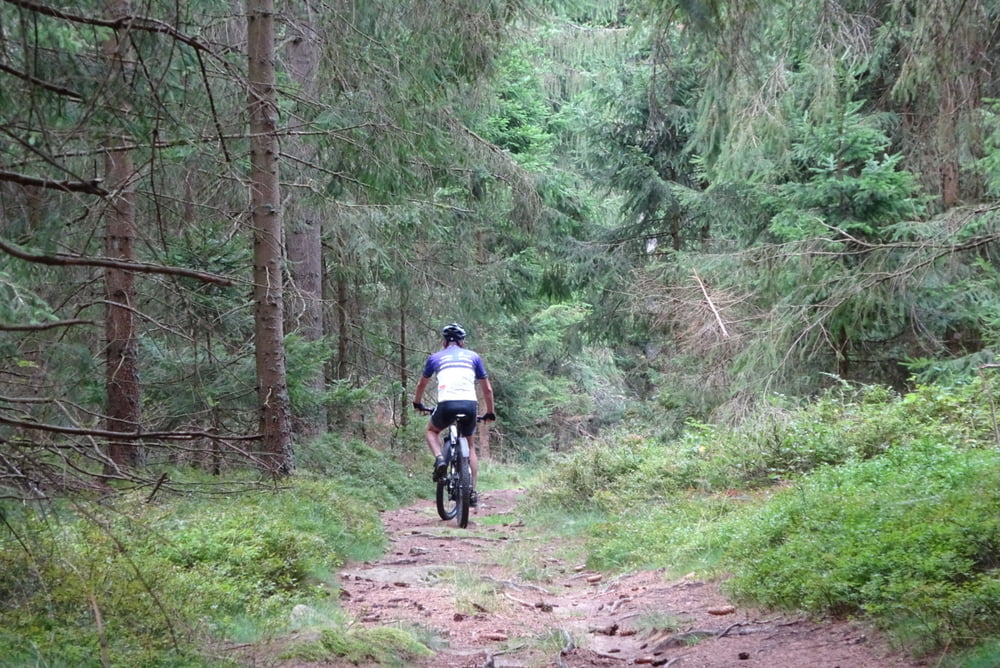
Geniale Strecke, die ich noch verfeinert habe und Asphalt umfahren bin. Deswegen wenig Asphalt, viel Schotter und einiges an wurzeligen Trails im Wald! Stromverbrauch: 0,9 kWh!
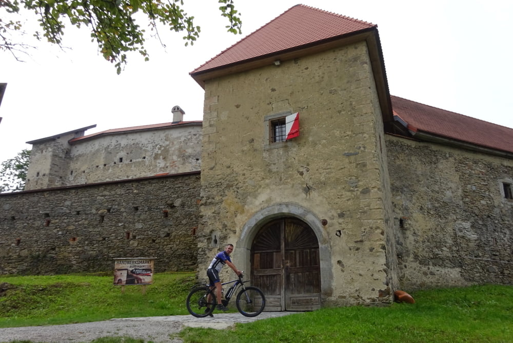
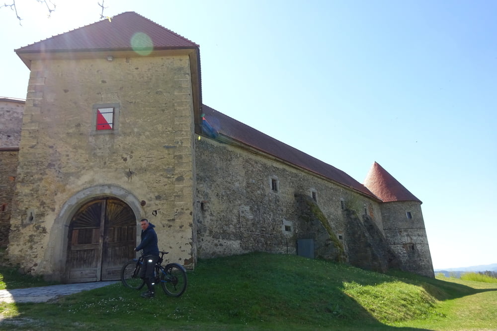
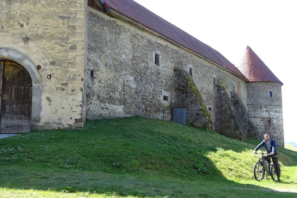
Tour gallery

Tour map and elevation profile

  • Open Street Map
  • Google
Minimum height 544 m Maximum height 916 m Detailed view

More about the tour author

rjkas
Member since 2003

Send private message

Comments

GPS tracks

Trackpoints
  • GPX / Garmin Map Source (gpx) download
  • TCX / Garmin Training Center® (tcx) download
  • CRS / Garmin Training Center® (crs) download
  • Google Earth (kml) download
  • G7ToWin (g7t) download
  • TTQV (trk) download
  • Overlay (ovl) download
  • Fugawi (txt) download
  • Kompass (DAV) Track (tk) download
  • Track data sheet (pdf) download
  • Original file of the author (gpx) download

More about the tour author

rjkas
Member since 2003

Send private message
Share track
Add to my favorites
Remove from my favorites
Edit tags
My score
Rate
Track: FR - Burg Piberstein > e-mtb
Type: Mountain bike
Distance: 73,7 km
Evaluated on:
Duration:
Day(s)
Hour(s)
Minute(s)
Score: Landscape Fun factor Fitness Technique