

Start der Tour der Schwemmkanal bei Oberhaag
Fahrt auf dem Schwemmkanal über Iglbach und Rosenhügel nach St Thomas
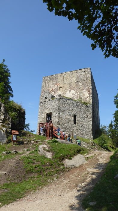
kurzer Abstecher zur Burgruine Wittinghausen
weiter runter nach Heuraffl
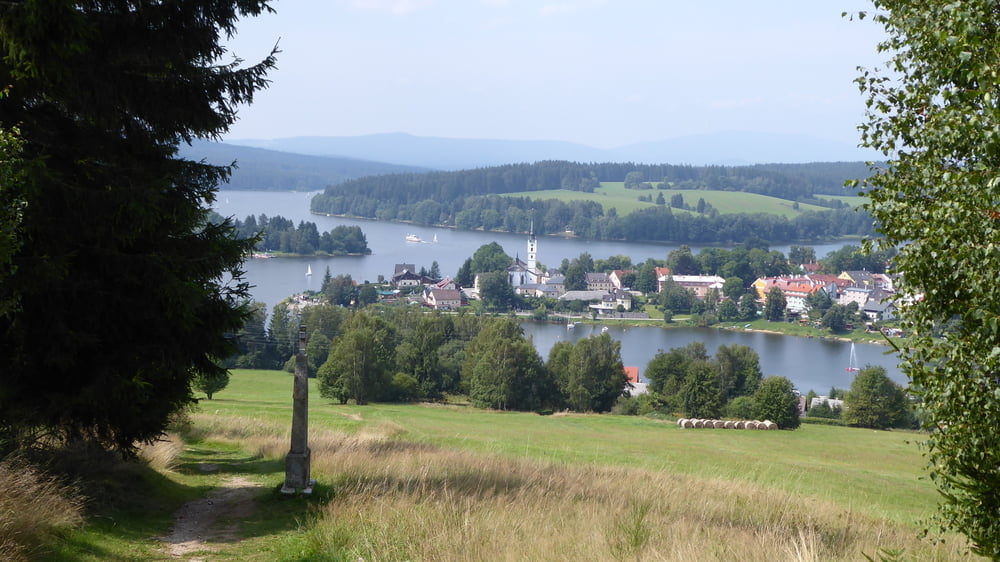
auf Radweg entlang des Moldaustausees zur Staumauer Moldaustausee
Staumauer überquert und auf Radweg nach Lipno
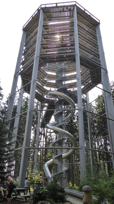
Auffahrt zum Baumkronenweg .... 2malige flowige BikeStrecke beim Baumkronenweg
weiter auf Forststraße nach Friedberg
schöne Abfahrt von einem Kirchlein oberhalb von Friedberg auf einem Kreuzweg
Auffahrt auf Wiesenweg und Asphalt nach Kovarov
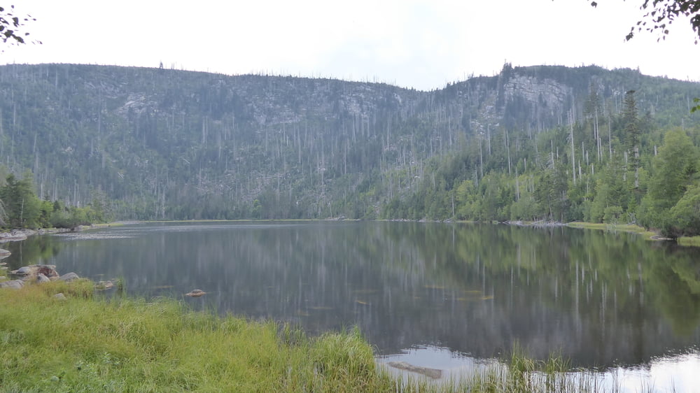
weiter bergauf nach Milina und weiter am schönen Moorsee Kozi Ryb vorbei nachz Cerna
von Cerna nach Oberplan und weiter nach Nova Pec
Auffahrt auf Asphalt zum Plöckensteinersee - kurzer Abstecher
wieder retour und steile Auffahrt zum Grenzübergang 1/10
Auf Forststraße durch das Schigebiet Hochficht nach Schöneben
weiter auf Nordwaldkammweg und Forststraße retour zum Ausgangspunkt
in Tschechien fröhliches BIKEN in Österreich gibt es einige Fahrverbote ... dort wird das Rad natürlich geschoben
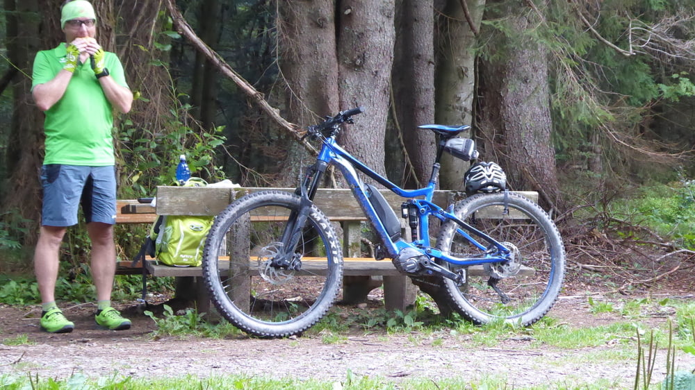
Tour gallery
Tour map and elevation profile
Minimum height 659 m
Maximum height 1153 m
More about the tour author
|
|
Hoar |
Comments

GPS tracks
Trackpoints-
GPX / Garmin Map Source (gpx) download
-
TCX / Garmin Training Center® (tcx) download
-
CRS / Garmin Training Center® (crs) download
-
Google Earth (kml) download
-
G7ToWin (g7t) download
-
TTQV (trk) download
-
Overlay (ovl) download
-
Fugawi (txt) download
-
Kompass (DAV) Track (tk) download
-
Track data sheet (pdf) download
-
Original file of the author (gpx) download
More about the tour author
|
|
Hoar |
Add to my favorites
Remove from my favorites
Edit tags
Open track
My score
Rate