


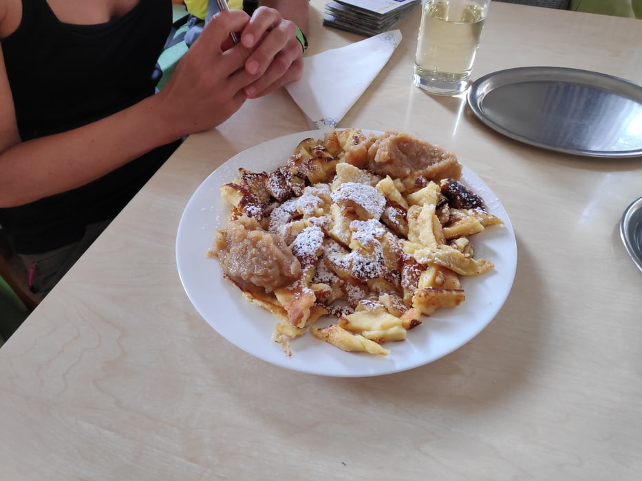
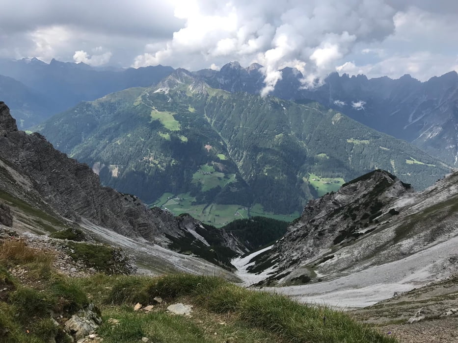
Von Medraz über den Blutschwitzersteig zur Maria Waldrast. Von hier erfolgt der Aufstieg zum Serlesjöchl auf 2.400m. Der Abstieg vom Jöchl ist zunächst sehr steil und geröllig, wird dann aber angenehmer zu laufen. Im Gasthof Wildeben lohnt eine Einkehr. Einer der besten Kaiserschmarrn, inkl. selbstgekochtem Apfelmus. Lecker. Der restliche Abstieg ins Tal erfolgt zunächst über einen Steig, später dann über einen Forstweg.
Tour gallery
Tour map and elevation profile
Minimum height 983 m
Maximum height 2362 m
More about the tour author

|
klixx |
Comments

In Medraz (Medrazer Stille) kann man im Wohngebiet problemlos parken.
GPS tracks
Trackpoints-
GPX / Garmin Map Source (gpx) download
-
TCX / Garmin Training Center® (tcx) download
-
CRS / Garmin Training Center® (crs) download
-
Google Earth (kml) download
-
G7ToWin (g7t) download
-
TTQV (trk) download
-
Overlay (ovl) download
-
Fugawi (txt) download
-
Kompass (DAV) Track (tk) download
-
Track data sheet (pdf) download
-
Original file of the author (gpx) download
More about the tour author
|
|
klixx |
Add to my favorites
Remove from my favorites
Edit tags
Open track
My score
Rate