


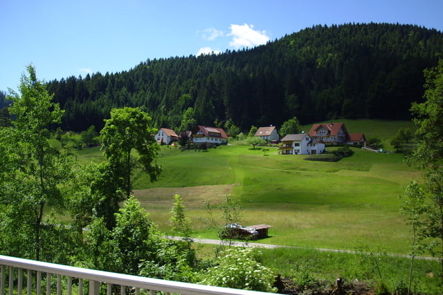
Die Tour ist fast gleich wie schon eine andere von mir, diesmal ist nur der Unterschied das es ab Oberkirch nicht über Hauptstraßen nach Achern geht sondern durch Wiesen und Weinberge. Einfach mal die Tour Nr. 10536 eingeben und dort gibt es die Beschreibung. Ab Oberkirch geht es über Tiergarten und Ulm weiter Richtung Mösbach immer schön durch Wiesen und Weinberge. Später ab Mösbach noch schön durch Wiesen mit den ganzen Kirschbäumen bis nach Fautenbach.
Further information at
http://www.oppenau.de/tourismus/sehenswert/allerheiligen.htmlTour gallery
Tour map and elevation profile
Minimum height 135 m
Maximum height 1025 m
More about the tour author
|
|
ccmskates |
Comments

Achern ist über die A5, Ausfahrt 53 zu erreichen. Mit der Schwarzwaldbahn aus kommt man von Karlsruhe oder Kostanz nach Achern.Wer von Freiburg aus mit der Bahn kommt muß in Offenburg umsteigen.
GPS tracks
Trackpoints-
GPX / Garmin Map Source (gpx) download
-
TCX / Garmin Training Center® (tcx) download
-
CRS / Garmin Training Center® (crs) download
-
Google Earth (kml) download
-
G7ToWin (g7t) download
-
TTQV (trk) download
-
Overlay (ovl) download
-
Fugawi (txt) download
-
Kompass (DAV) Track (tk) download
-
Track data sheet (pdf) download
-
Original file of the author (gpx) download
More about the tour author
|
|
ccmskates |
Add to my favorites
Remove from my favorites
Edit tags
Open track
My score
Rate