


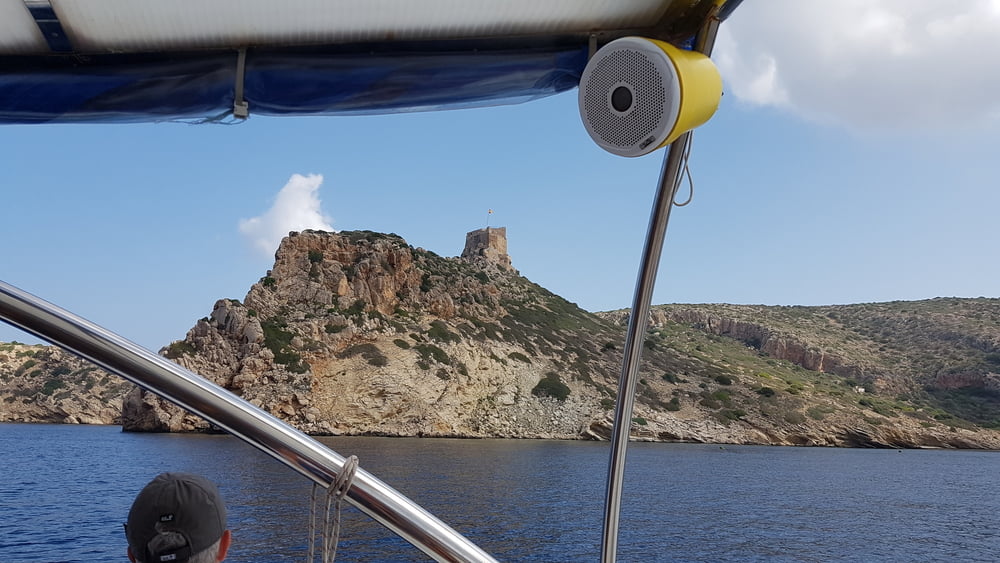
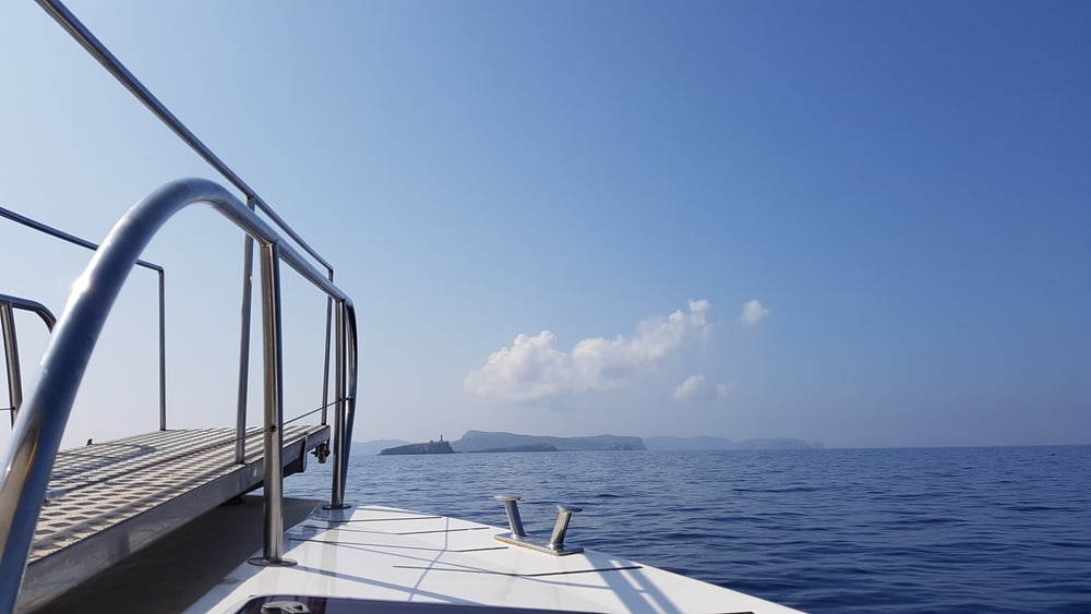
Für 45 € pro Person in der Nebensaison bekamen wir die Tickets. Die Schifffahrt zur Insel Cabrea dauert ca. 40 Minuten (22 km).
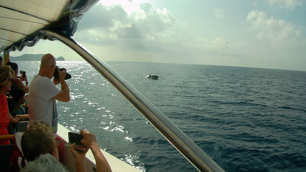
Wir hatten das Glück bei der Hin und Rückfahrt auf eine Gruppe Delfine zu treffen.
Auf der Insel Cabrera hatten wir 4 Std. Aufenthalt die wir für eine Wanderung nutzten (siehe den Link).
https://www.gps-tour.info/de/touren/detail.170155.html
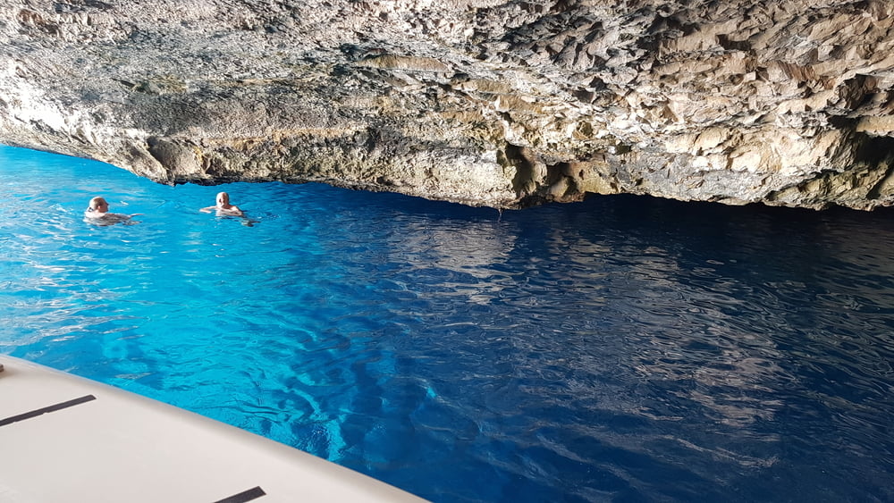
Bei der Rückfahrt besuchten wir noch die Blaue Grotte, in der man 15 Minuten baden konnte.
Further information at
https://www.marcabrera.com/deTour gallery
Tour map and elevation profile
Minimum height -2 m
Maximum height 14 m
More about the tour author
|
|
W-C |
Comments

Von Palma auf der Ma-19 nach Campos, dann auf der Landstraße Ma-6040 nach Colonia de Sant Jordi.
Am Kreisverkehr vor dem Ort 1. Ausfahrt und zum Parkplatz am Hafen.
Koordinaten:
N39° 18.952'
E2° 59.830'
GPS tracks
Trackpoints-
GPX / Garmin Map Source (gpx) download
-
TCX / Garmin Training Center® (tcx) download
-
CRS / Garmin Training Center® (crs) download
-
Google Earth (kml) download
-
G7ToWin (g7t) download
-
TTQV (trk) download
-
Overlay (ovl) download
-
Fugawi (txt) download
-
Kompass (DAV) Track (tk) download
-
Track data sheet (pdf) download
-
Original file of the author (gpx) download
More about the tour author
|
|
W-C |
Add to my favorites
Remove from my favorites
Edit tags
Open track
My score
Rate