


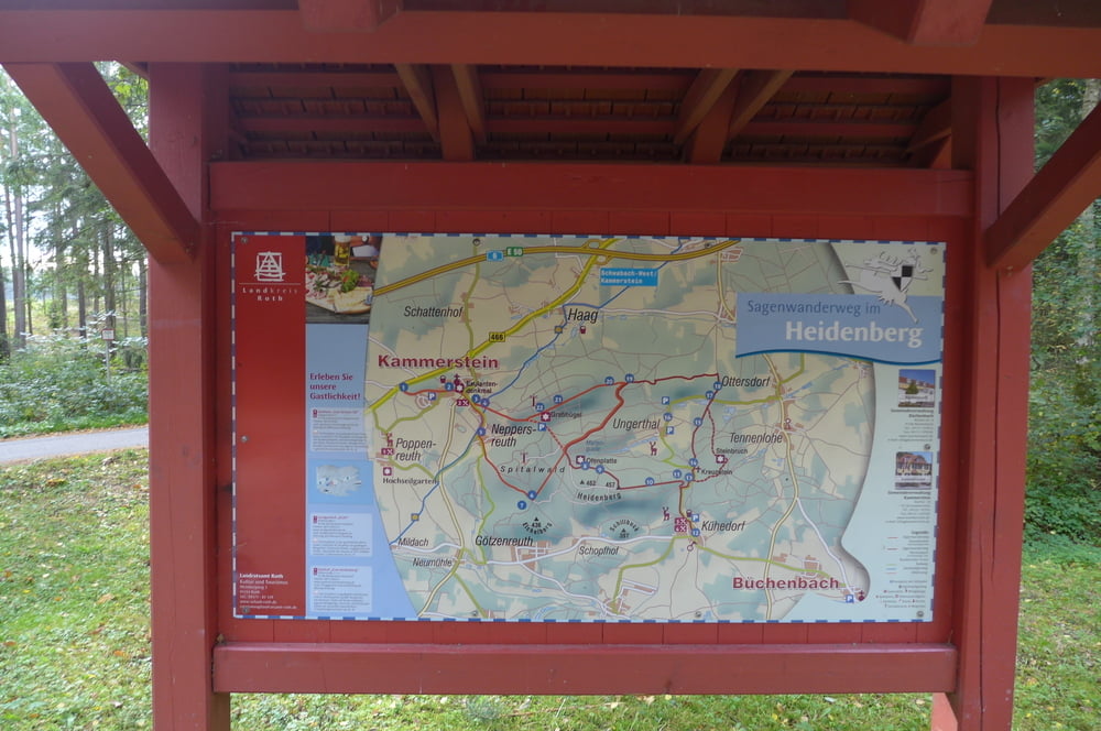
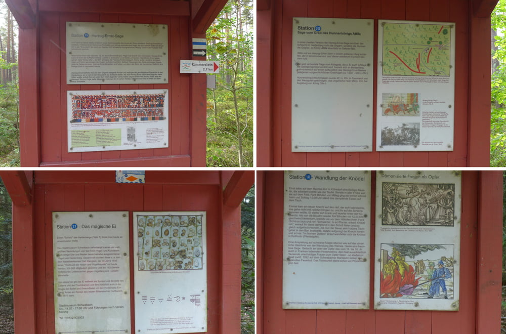
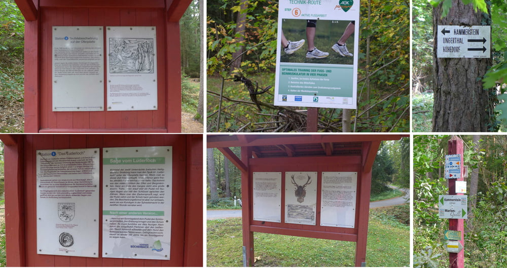
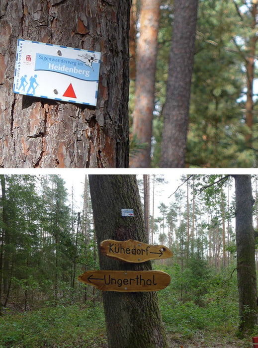
Diese kleine Wanderung ist eine Schlaumachrunde mit Sagenweg, Technikroute, Quellensteig, Einiges von des Försters Schlauheiten und vielem anderem auf sanften Pfaden, Steigen und Wegen.
Wir starteten auf einem großen, kostenfreien Wanderparkplatz im Ungerthal und kehrten zwischendurch sehr schön im Landgasthof Kraft in Kühedorf ein. Wir hätten freilich auch den Gasthof Odorfer wählen können. :-)
Wir starteten auf einem großen, kostenfreien Wanderparkplatz im Ungerthal und kehrten zwischendurch sehr schön im Landgasthof Kraft in Kühedorf ein. Wir hätten freilich auch den Gasthof Odorfer wählen können. :-)
Further information at
http://www.freiberg-service.de/Tour gallery
Tour map and elevation profile
Minimum height 359 m
Maximum height 456 m
More about the tour author
|
|
Saxoniaradler |
Comments

GPS tracks
Trackpoints-
GPX / Garmin Map Source (gpx) download
-
TCX / Garmin Training Center® (tcx) download
-
CRS / Garmin Training Center® (crs) download
-
Google Earth (kml) download
-
G7ToWin (g7t) download
-
TTQV (trk) download
-
Overlay (ovl) download
-
Fugawi (txt) download
-
Kompass (DAV) Track (tk) download
-
Track data sheet (pdf) download
-
Original file of the author (gpx) download
More about the tour author
|
|
Saxoniaradler |
Add to my favorites
Remove from my favorites
Edit tags
Open track
My score
Rate