


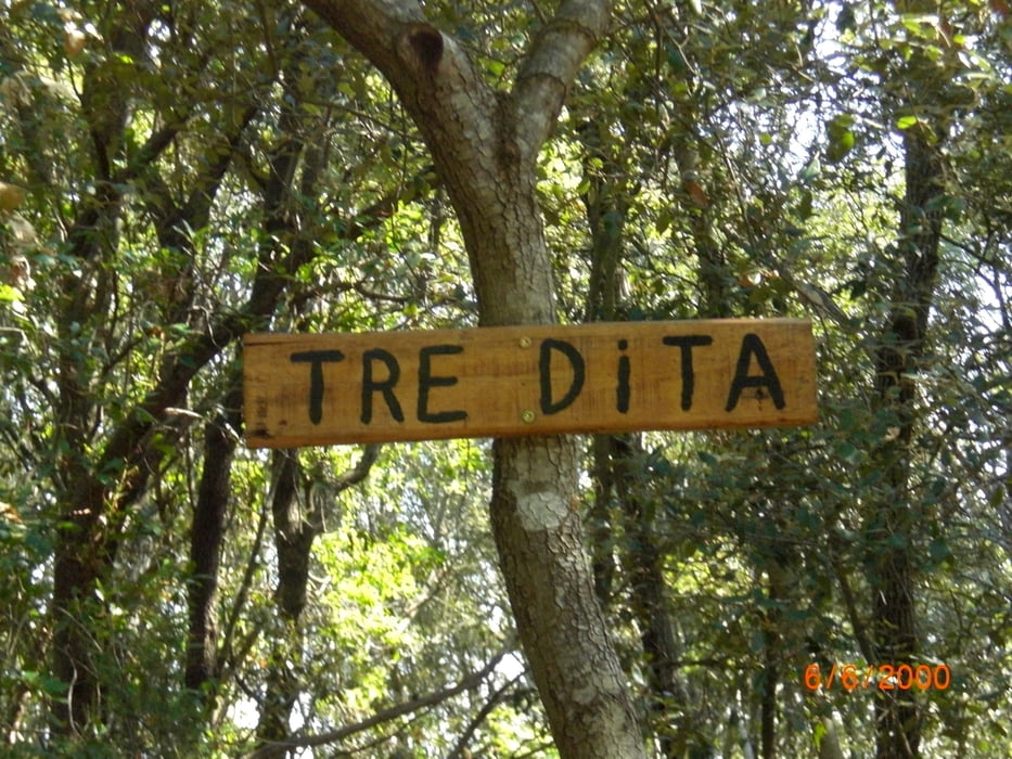
vom Camping Baia Verde auf den I Cavalli und weiter auf dem Sträßchen Nach Pian d'Alma. Den Kies/Waldweg hinauf zum Tre Dita (S1-S3) dann kurz zurück und auf einem anderen Weg wieder hinauf. Ab der Mitte kommt eine ziemlich steile verblockte Rampe (Turbo oder schieben). Beim 301 kommt man raus. Weiter hoch auf den Pian Alma und den Kriminale (S1-S3) runter nach Scarlino. Von dort aus auf spannendenTrails zurück zum Camping.
Tour gallery


Tour map and elevation profile
Minimum height -47 m
Maximum height 487 m
More about the tour author
|
|
Fruehaufsteher |
Comments

GPS tracks
Trackpoints-
GPX / Garmin Map Source (gpx) download
-
TCX / Garmin Training Center® (tcx) download
-
CRS / Garmin Training Center® (crs) download
-
Google Earth (kml) download
-
G7ToWin (g7t) download
-
TTQV (trk) download
-
Overlay (ovl) download
-
Fugawi (txt) download
-
Kompass (DAV) Track (tk) download
-
Track data sheet (pdf) download
-
Original file of the author (gpx) download
More about the tour author
|
|
Fruehaufsteher |
Add to my favorites
Remove from my favorites
Edit tags
Open track
My score
Rate