Login

Forgot your login?

Cookies have to be accepted!
Your browser's cookie functionality is disabled. Please enable this functionality.

Not a member yet?

Register now
Login

Available for registred users only

Log in to use this feature.

Forgot your login?

Cookies have to be accepted!
Your browser's cookie functionality is disabled. Please enable this functionality.

Not a member yet?

Register now
Filter
Categories
Advanced filters
  • Distance (km)
  • Height
Save filters Reset filter

TrackRank

QRCode

Technical data

Distance5,1 km Height313 m Way down35 m Duration02:00 h:m Date15.06.2008
Scores Author Landscape Fun factor Fitness Technique

Statistics

1027 Views Scores 198 Downloads Average
Rate
  • Track data sheet
  • Directions
  • Downloads
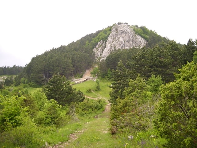
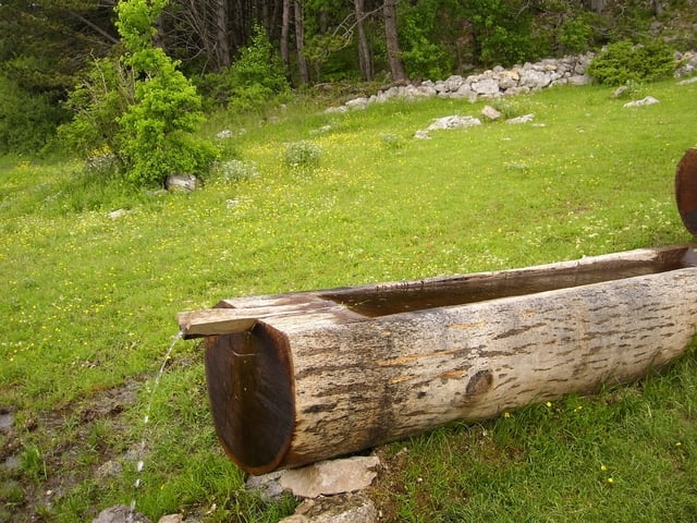
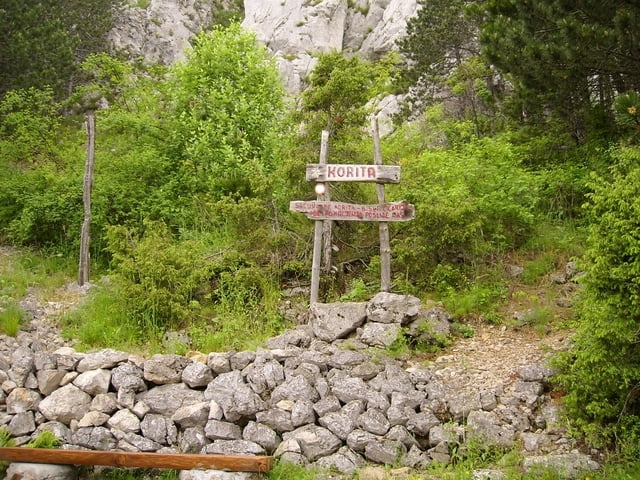
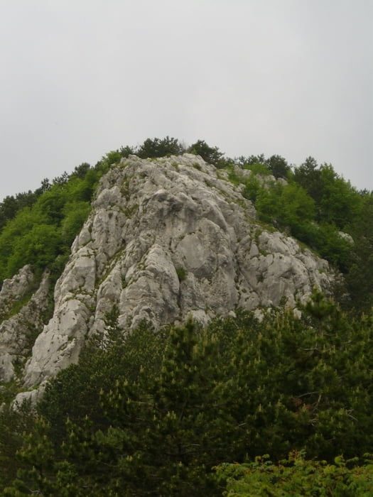
Wandertour zu Korita-Quelle im istrischen Karstgebirge Ucka.

Tour gallery

Tour map and elevation profile

  • Open Street Map
  • Google
Minimum height 723 m Maximum height 1014 m Detailed view

More about the tour author

Joern_Weber
Member since 2004

Send private message

Comments

Von Rejeka aus die A3 bis Lupoglav fahren und von dort über eine befestigte Landstraße nach Brdudac. Der 
Parkplatz vor dem Dorf (auch für größere Fahrzeuge geeignet)

GPS tracks

Trackpoints
  • GPX / Garmin Map Source (gpx) download
  • TCX / Garmin Training Center® (tcx) download
  • CRS / Garmin Training Center® (crs) download
  • Google Earth (kml) download
  • G7ToWin (g7t) download
  • TTQV (trk) download
  • Overlay (ovl) download
  • Fugawi (txt) download
  • Kompass (DAV) Track (tk) download
  • Track data sheet (pdf) download
  • Original file of the author (gpx) download

More about the tour author

Joern_Weber
Member since 2004

Send private message
Share track
Add to my favorites
Remove from my favorites
Edit tags
My score
Rate
Track: Korita
Type: Hiking
Distance: 5,1 km
Evaluated on:
Duration:
Day(s)
Hour(s)
Minute(s)
Score: Landscape Fun factor Fitness Technique