Login

Forgot your login?

Cookies have to be accepted!
Your browser's cookie functionality is disabled. Please enable this functionality.

Not a member yet?

Register now
Login

Available for registred users only

Log in to use this feature.

Forgot your login?

Cookies have to be accepted!
Your browser's cookie functionality is disabled. Please enable this functionality.

Not a member yet?

Register now
Filter
Categories
Advanced filters
  • Distance (km)
  • Height
Save filters Reset filter

TrackRank

QRCode

Technical data

Distance21,5 km Height338 m Way down337 m Duration05:00 h:m Date16.10.2019
Scores Author Landscape Fun factor Fitness Technique

Statistics

429 Views Scores 15 Downloads Average
Rate
  • Track data sheet
  • Directions
  • Downloads
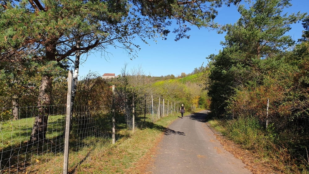
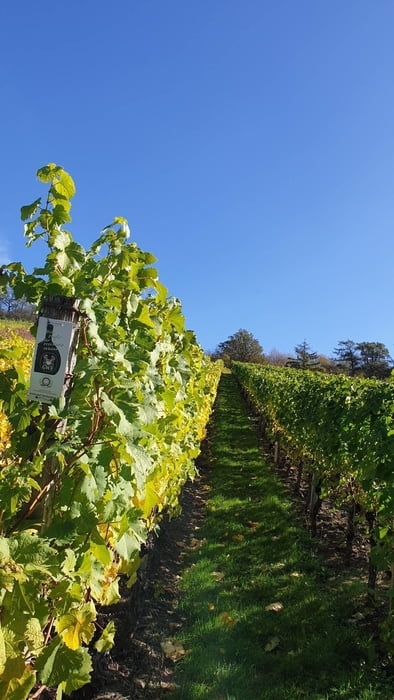
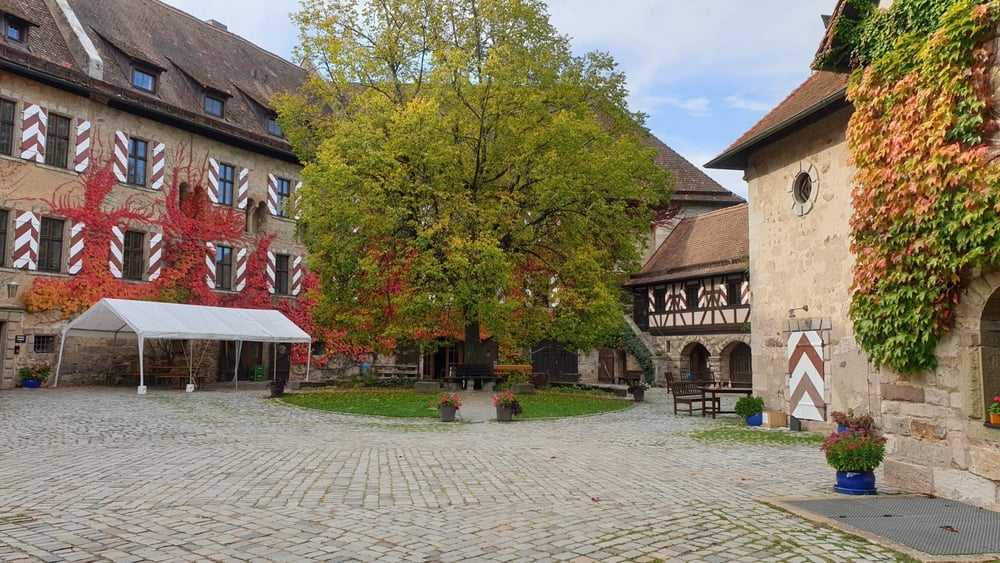
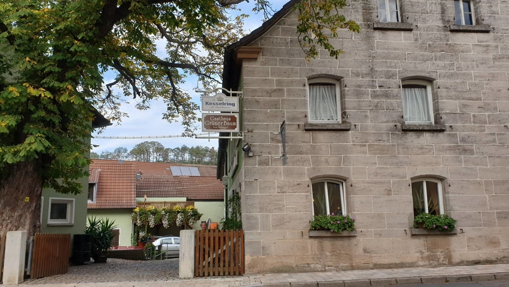
Wanderung in die Weinberge oberhalb von Ipsheim und zur Burg Hoheneck. Unterwegs Einkehrmöglichkeiten im Bewirtungshaus Weinwanderweg und im Gasthaus Willi Hufnagel "Gasthaus Grüner Baum"in Dietersheim.

Tour gallery

Tour map and elevation profile

  • Open Street Map
  • Google
Minimum height 388 m Maximum height 473 m Detailed view

More about the tour author

mmehle
Member since 2008

Send private message

Comments

Über Neustadt/Aisch nach Beerbach. An der Straße Richtung Pechhütte parken.

GPS tracks

Trackpoints
  • GPX / Garmin Map Source (gpx) download
  • TCX / Garmin Training Center® (tcx) download
  • CRS / Garmin Training Center® (crs) download
  • Google Earth (kml) download
  • G7ToWin (g7t) download
  • TTQV (trk) download
  • Overlay (ovl) download
  • Fugawi (txt) download
  • Kompass (DAV) Track (tk) download
  • Track data sheet (pdf) download
  • Original file of the author (gpx) download

More about the tour author

mmehle
Member since 2008

Send private message
Share track
Add to my favorites
Remove from my favorites
Edit tags
My score
Rate
Track: Weinberge bei Ipsheim und Burg Hoheneck
Type: Hiking
Distance: 21,5 km
Evaluated on:
Duration:
Day(s)
Hour(s)
Minute(s)
Score: Landscape Fun factor Fitness Technique