Login

Forgotten password?

Cookies have to be accepted!
Your browser's cookie functionality is disabled. Please enable this functionality.

Not a member yet?

Register now
Login

Available for registred users only

Log in to use this feature.

Forgotten password?

Cookies have to be accepted!
Your browser's cookie functionality is disabled. Please enable this functionality.

Not a member yet?

Register now
Filter
Categories
Advanced filters
  • Distance (km)
  • Height
Save filters Reset filter

TrackRank

QRCode

Technical data

Distance13,5 km Height985 m Way down973 m Duration04:50 h:m Date22.09.2019
Scores Author Landscape Fun factor Fitness Technique

Statistics

112 Views Scores 3 Downloads Average
Rate
  • Track data sheet
  • Directions
  • Downloads

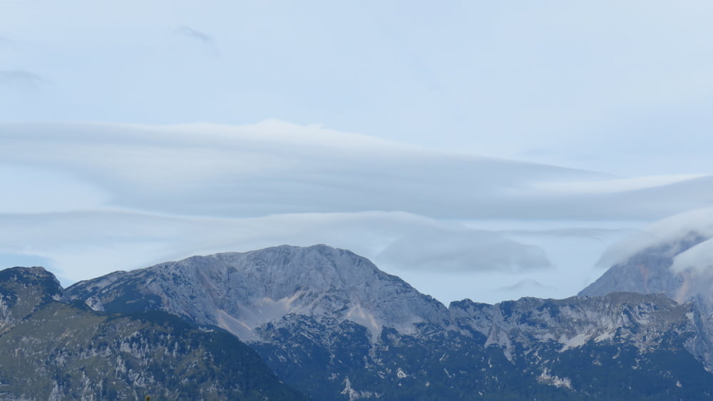
Po klasiki iz Krivčevega pa po robu in naprej do Marije snežne. Ljudi je bilo čisto preveč. V Domžalski koči je bilo nabito  polno, pa sva se sprehodile do Črnuške, kjer je bilo pa bolj prazno... So bili pa pri sosednji mizi zelo glasni Čehi.

Tujcev je čisto preveč po hribih...

Tour gallery

Tour map and elevation profile

  • Open Street Map
  • Google
Minimum height 628 m Maximum height 1573 m Detailed view

More about the tour author

sandibor
Member since 2017

Send private message

Comments

GPS tracks

Trackpoints
  • GPX / Garmin Map Source (gpx) download
  • TCX / Garmin Training Center® (tcx) download
  • CRS / Garmin Training Center® (crs) download
  • Google Earth (kml) download
  • G7ToWin (g7t) download
  • TTQV (trk) download
  • Overlay (ovl) download
  • Fugawi (txt) download
  • Kompass (DAV) Track (tk) download
  • Track data sheet (pdf) download
  • Original file of the author (gpx) download

More about the tour author

sandibor
Member since 2017

Send private message
Share track
Add to my favorites
Remove from my favorites
Edit tags
My score
Rate
Track: Krivčevo-Marija Snežna-Črnuški dom-Krivčevo
Type: Mountain hiking
Distance: 13,5 km
Evaluated on:
Duration:
Day(s)
Hour(s)
Minute(s)
Score: Landscape Fun factor Fitness Technique