


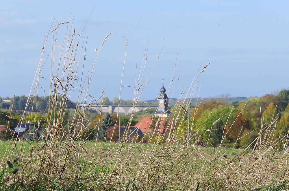
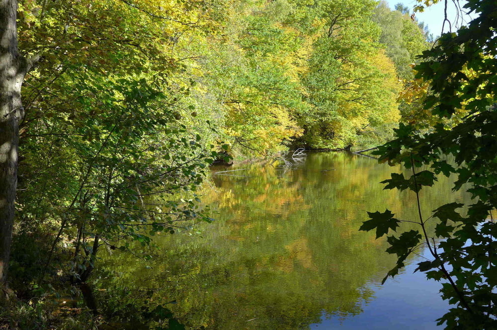
Unser Ziel bei der Tour ist es nach einem üppigen Mahl in dem Landhotel „Zur Kutsche“ von Oberschöna im Striegistal den Kopf etwas zu lüften und den Bauch ein bisschen zu entspannen. Wir besuchten dafür wieder einmal den Biber, den Schwarzstorch, den Eisvogel, das Bachneunauge und weitere potentielle Kollegen im FFH Gebiet vom Kirchbachtal und fragten so nach ihrem Befinden.
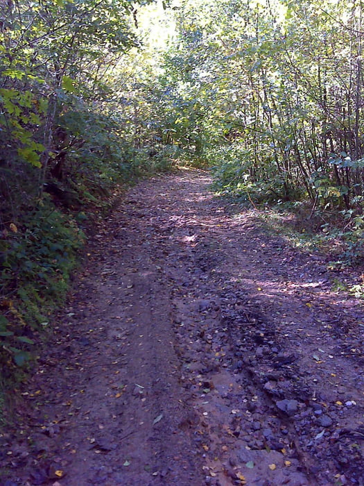
Wir starteten dafür auf dem kostenlosen Parkplatz am Rathaus von Oberschöna im Striegistal. Freilich hätten wir auch am Landhotel parken können. Es gab dann im Verlaufe des weiteren Tages am Wegesrand zwei schön gelegene Bänke um das Schlemmern fortsetzen zu können!! :-)
Further information at
http://www.freiberg-service.de/Tour gallery

Tour map and elevation profile
Minimum height 334 m
Maximum height 459 m
More about the tour author
|
|
Saxoniaradler |
Comments

Oberschöna liegt zwischen Freiberg und Chemnitz. Dresden liegt viel tiefer im Osten!
Camper sind eh pfiffig und finden den Weg allein.
Camper sind eh pfiffig und finden den Weg allein.
GPS tracks
Trackpoints-
GPX / Garmin Map Source (gpx) download
-
TCX / Garmin Training Center® (tcx) download
-
CRS / Garmin Training Center® (crs) download
-
Google Earth (kml) download
-
G7ToWin (g7t) download
-
TTQV (trk) download
-
Overlay (ovl) download
-
Fugawi (txt) download
-
Kompass (DAV) Track (tk) download
-
Track data sheet (pdf) download
-
Original file of the author (gpx) download
More about the tour author
|
|
Saxoniaradler |
Add to my favorites
Remove from my favorites
Edit tags
Open track
My score
Rate