Login

Forgot your login?

Cookies have to be accepted!
Your browser's cookie functionality is disabled. Please enable this functionality.

Not a member yet?

Register now
Login

Available for registred users only

Log in to use this feature.

Forgot your login?

Cookies have to be accepted!
Your browser's cookie functionality is disabled. Please enable this functionality.

Not a member yet?

Register now
Filter
Categories
Advanced filters
  • Distance (km)
  • Height
Save filters Reset filter

TrackRank

QRCode

Technical data

Distance36,4 km Height601 m Way down575 m Duration03:00 h:m Date19.10.2019
Scores Author Landscape Fun factor Fitness Technique

Statistics

134 Views Scores 28 Downloads Average
Rate
  • Track data sheet
  • Directions
  • Downloads
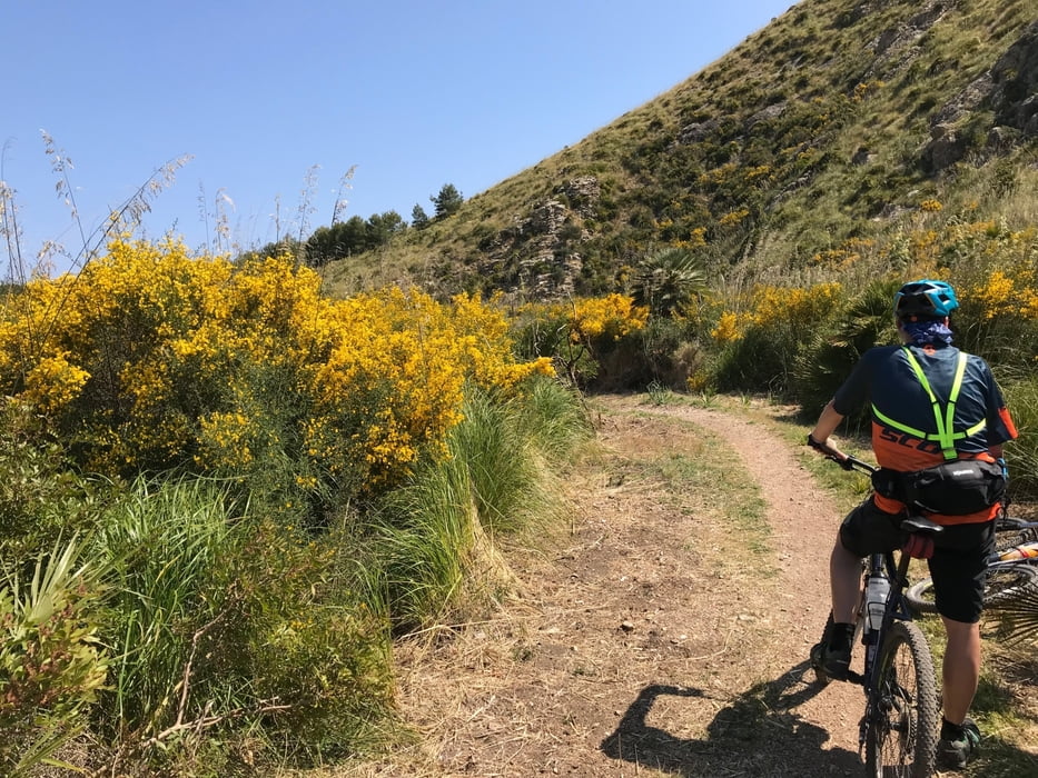
Für die MTBs, die man auf Mallorca leihen (Hardtail, eher untere Ausstattung) kann passt die Tour gut. Landschaft uns Aussicht sehr schön.

Tour gallery

Tour map and elevation profile

  • Open Street Map
  • Google
Minimum height 76 m Maximum height 303 m Detailed view

More about the tour author

gerthoffmann
Member since 2010

Send private message

Comments

Parken am Parkplatz unterhalb Santuari de Sant Salvador

GPS tracks

Trackpoints
  • GPX / Garmin Map Source (gpx) download
  • TCX / Garmin Training Center® (tcx) download
  • CRS / Garmin Training Center® (crs) download
  • Google Earth (kml) download
  • G7ToWin (g7t) download
  • TTQV (trk) download
  • Overlay (ovl) download
  • Fugawi (txt) download
  • Kompass (DAV) Track (tk) download
  • Track data sheet (pdf) download
  • Original file of the author (gpx) download

More about the tour author

gerthoffmann
Member since 2010

Send private message
Share track
Add to my favorites
Remove from my favorites
Edit tags
My score
Rate
Track: MTB um Arta
Type: Mountain bike
Distance: 36,4 km
Evaluated on:
Duration:
Day(s)
Hour(s)
Minute(s)
Score: Landscape Fun factor Fitness Technique