Login

Forgot your login?

Cookies have to be accepted!
Your browser's cookie functionality is disabled. Please enable this functionality.

Not a member yet?

Register now
Login

Available for registred users only

Log in to use this feature.

Forgot your login?

Cookies have to be accepted!
Your browser's cookie functionality is disabled. Please enable this functionality.

Not a member yet?

Register now
Filter
Categories
Advanced filters
  • Distance (km)
  • Height
Save filters Reset filter

TrackRank

QRCode

Technical data

Distance9,9 km Height768 m Way down786 m Duration02:15 h:m Date07.10.2018
Scores Author Landscape Fun factor Fitness Technique

Statistics

153 Views Scores 27 Downloads Average
Rate
  • Track data sheet
  • Directions
  • Downloads
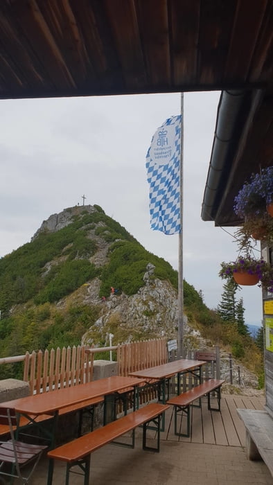
Nette Rund über die Tegernseer Hütte vom Parkplatz Bayerwald aus. Die Gehzeit bezieht sich auf die reine Gehzeit ohne Pausen!
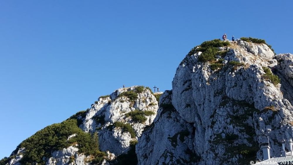
Tour gallery

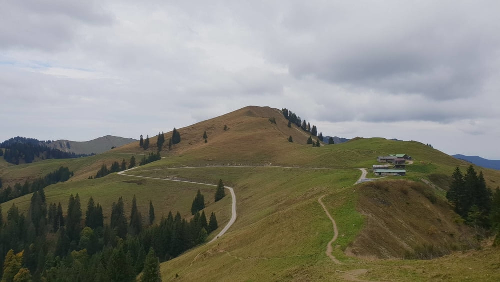
Tour map and elevation profile

  • Open Street Map
  • Google
Minimum height 916 m Maximum height 1702 m Detailed view

More about the tour author

mmehle
Member since 2008

Send private message

Comments

Parken am Parkplatz Bayerwald

GPS tracks

Trackpoints
  • GPX / Garmin Map Source (gpx) download
  • TCX / Garmin Training Center® (tcx) download
  • CRS / Garmin Training Center® (crs) download
  • Google Earth (kml) download
  • G7ToWin (g7t) download
  • TTQV (trk) download
  • Overlay (ovl) download
  • Fugawi (txt) download
  • Kompass (DAV) Track (tk) download
  • Track data sheet (pdf) download
  • Original file of the author (gpx) download

More about the tour author

mmehle
Member since 2008

Send private message
Share track
Add to my favorites
Remove from my favorites
Edit tags
My score
Rate
Track: Tegernseer Hütte, Rundweg
Type: Mountain hiking
Distance: 9,9 km
Evaluated on:
Duration:
Day(s)
Hour(s)
Minute(s)
Score: Landscape Fun factor Fitness Technique