


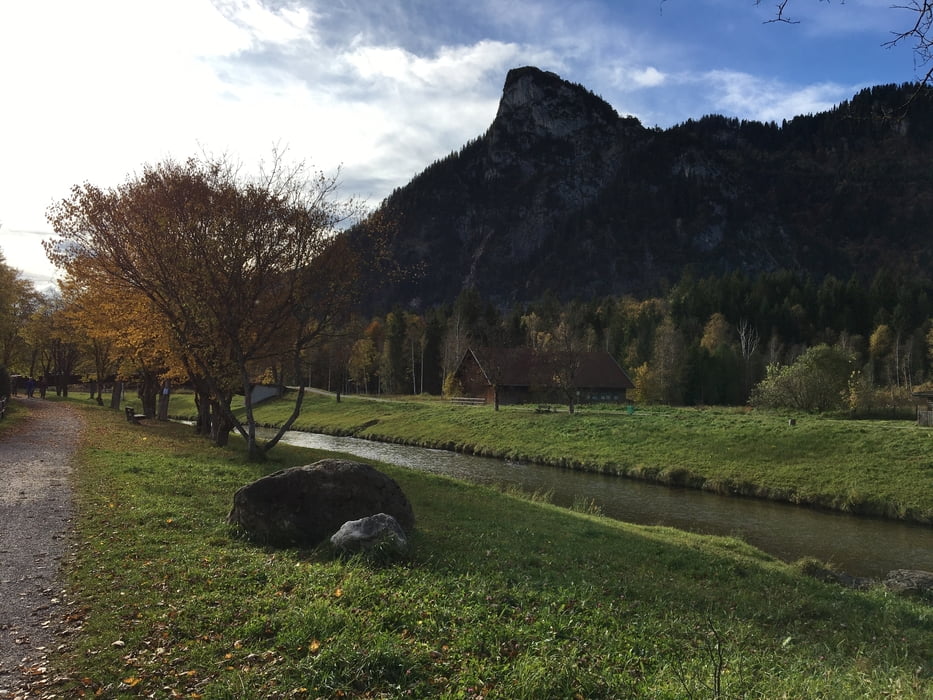
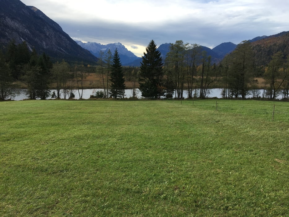
Start ist Saulgrub an einem öffentlichen Parkplatz. Der Weg nach Ettal ist einfach und gut beschrieben, überwiegend auf befestigten Wegen. Am Ettaler Sattel benützen wir die alte Straße, grob geschottert und recht steil abwärts. Hier gut aufpassen oder schieben. In Oberau überqueren wir die vielbefahrene B2 um danach durchs Moos zu fahren, meist auf unfestigten Weg. Landschaftlich sehr schön. In Eschenlohe unterqueren wir die A95 und fahren weiter durchs Murnauer Moos. Nach Bad Kohlgrub geht es weiter durch den Wald. In Bad Kohlgrub habe ich leider noch keinen Weg gefunden die Hauptstraße zu umgehen. Kurz darauf sind wir am Ziel/Anfang.
Tour gallery
Tour map and elevation profile
Minimum height 624 m
Maximum height 897 m
More about the tour author
|
|
tazzo |
Comments

Über die B23 in Richtung Oberammergau. Oder mit der Bahn bis Saulgrub.
GPS tracks
Trackpoints-
GPX / Garmin Map Source (gpx) download
-
TCX / Garmin Training Center® (tcx) download
-
CRS / Garmin Training Center® (crs) download
-
Google Earth (kml) download
-
G7ToWin (g7t) download
-
TTQV (trk) download
-
Overlay (ovl) download
-
Fugawi (txt) download
-
Kompass (DAV) Track (tk) download
-
Track data sheet (pdf) download
-
Original file of the author (gpx) download
More about the tour author
|
|
tazzo |
Add to my favorites
Remove from my favorites
Edit tags
Open track
My score
Rate