Login

Forgot your login?

Cookies have to be accepted!
Your browser's cookie functionality is disabled. Please enable this functionality.

Not a member yet?

Register now
Login

Available for registred users only

Log in to use this feature.

Forgot your login?

Cookies have to be accepted!
Your browser's cookie functionality is disabled. Please enable this functionality.

Not a member yet?

Register now
Filter
Categories
Advanced filters
  • Distance (km)
  • Height
Save filters Reset filter

TrackRank

QRCode

Technical data

Distance8,7 km Height185 m Way down196 m Duration01:45 h:m Date01.11.2019
Scores Author Landscape Fun factor Fitness Technique

Statistics

384 Views 1 Score 26 Downloads 5.00 Average
Rate
  • Track data sheet
  • Directions
  • Downloads
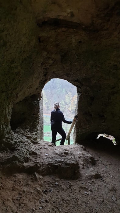
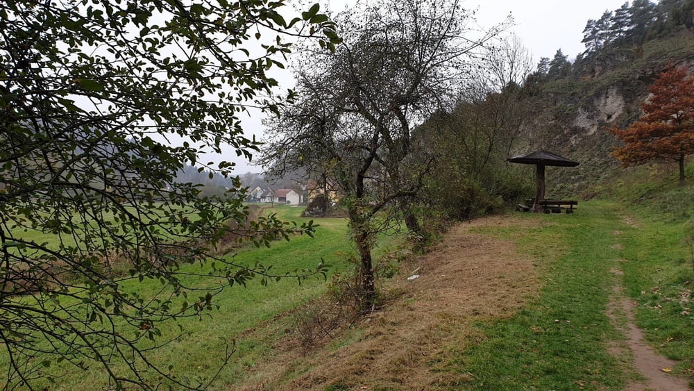
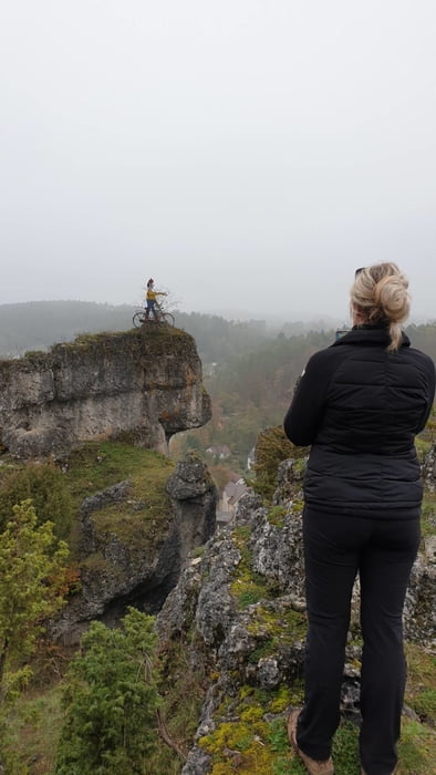
Unterwegs auf dem historischen Panoramaweg im oberen Ailsbachtal. Dieser Weg wurde für den Besuch König Ludwig I. von Bayern und seiner Frau Therese im Jahr 1830 angelegt. Er vermittelt noch heute die romantische Begeisterung für diese einmalige Felsen und Höhlenlandschaft.

Tour gallery

Tour map and elevation profile

  • Open Street Map
  • Google
Minimum height 366 m Maximum height 428 m Detailed view

More about the tour author

mmehle
Member since 2008

Send private message

Comments

kloepperey on 20.09.2021

Muss man gemacht haben!

Vielen Dank für diese schöne Tour. Sehr abwechslungsreich, landschaftlich sehr reizvoll! Es bietet sich eine Rast im Held-Bräu in Oberailsfeld an - Mittwoch und Donnerstag Ruhetag.
Parken am Parkplatz Ludwigshöhle im Ailsbachtal

GPS tracks

Trackpoints
  • GPX / Garmin Map Source (gpx) download
  • TCX / Garmin Training Center® (tcx) download
  • CRS / Garmin Training Center® (crs) download
  • Google Earth (kml) download
  • G7ToWin (g7t) download
  • TTQV (trk) download
  • Overlay (ovl) download
  • Fugawi (txt) download
  • Kompass (DAV) Track (tk) download
  • Track data sheet (pdf) download
  • Original file of the author (gpx) download

More about the tour author

mmehle
Member since 2008

Send private message
Share track
Add to my favorites
Remove from my favorites
Edit tags
My score
Rate
Track: Durchs wilde Ailsbachtal
Type: Hiking
Distance: 8,7 km
Evaluated on:
Duration:
Day(s)
Hour(s)
Minute(s)
Score: Landscape Fun factor Fitness Technique