Login

Forgot your login?

Cookies have to be accepted!
Your browser's cookie functionality is disabled. Please enable this functionality.

Not a member yet?

Register now
Login

Available for registred users only

Log in to use this feature.

Forgot your login?

Cookies have to be accepted!
Your browser's cookie functionality is disabled. Please enable this functionality.

Not a member yet?

Register now
Filter
Categories
Advanced filters
  • Distance (km)
  • Height
Save filters Reset filter

TrackRank

QRCode

Technical data

Distance35,7 km Height374 m Way down362 m Duration01:30 h:m Date15.06.2008
Scores Author Landscape Fun factor Fitness Technique

Statistics

210 Views Scores 85 Downloads Average
Rate
  • Track data sheet
  • Directions
  • Downloads
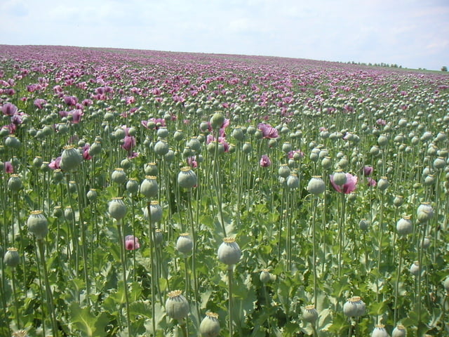
Familientour von Neckenmarkt nach Deutschkreuz und durch die Weinberge retour. Im wesentlichen entlang der Markierung B40.

Tour gallery

Tour map and elevation profile

  • Open Street Map
  • Google
Minimum height 174 m Maximum height 302 m Detailed view

More about the tour author

harnoncourt

Comments

Mit dem Auto nach Neckenmarkt

GPS tracks

Trackpoints
  • GPX / Garmin Map Source (gpx) download
  • TCX / Garmin Training Center® (tcx) download
  • CRS / Garmin Training Center® (crs) download
  • Google Earth (kml) download
  • G7ToWin (g7t) download
  • TTQV (trk) download
  • Overlay (ovl) download
  • Fugawi (txt) download
  • Kompass (DAV) Track (tk) download
  • Track data sheet (pdf) download
  • Original file of the author (gpx) download

More about the tour author

harnoncourt

Share track
Add to my favorites
Remove from my favorites
Edit tags
My score
Rate
Track: Neckenmarkt B40
Type: Trekkingbike
Distance: 35,7 km
Evaluated on:
Duration:
Day(s)
Hour(s)
Minute(s)
Score: Landscape Fun factor Fitness Technique