


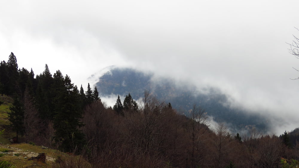
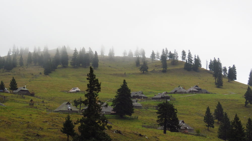
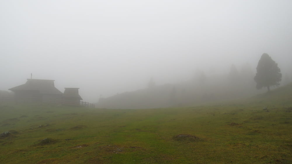
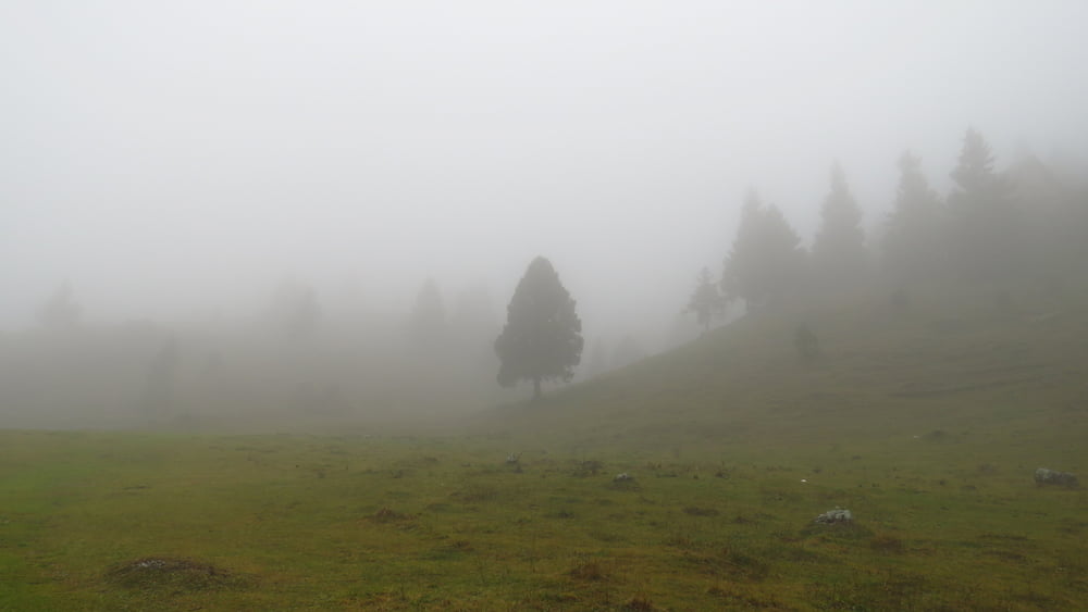
Po klasiki iz Krivčevega. Megla je bila nekje vmes in na vrhu, kjer je tudi pihalo. V koči sem se podprl s še kar dobrim pasuljem in ne tako dobrimi štruklji, vmes pa poslušal debate štirih "gostov", ki so bili že kar precej fajhtni. Dol grede je na vrhu precej bolj pihalo, malo kapljalo, pa tudi megleno je bilo bolj. Proti koncu sem zavil desno in našel novo potko, pa verjetno tudi začetek poti iz Žage na Kisovec. Bo treba probati.
Vročine ni bilo, mraza pa tudi ne. Srečal nisem (razen štirih v koči) nikogar.
Tour gallery
Tour map and elevation profile
Minimum height 627 m
Maximum height 1558 m
More about the tour author

|
sandibor |
Comments

GPS tracks
Trackpoints-
GPX / Garmin Map Source (gpx) download
-
TCX / Garmin Training Center® (tcx) download
-
CRS / Garmin Training Center® (crs) download
-
Google Earth (kml) download
-
G7ToWin (g7t) download
-
TTQV (trk) download
-
Overlay (ovl) download
-
Fugawi (txt) download
-
Kompass (DAV) Track (tk) download
-
Track data sheet (pdf) download
-
Original file of the author (gpx) download
More about the tour author
|
|
sandibor |
Add to my favorites
Remove from my favorites
Edit tags
Open track
My score
Rate