Login

Forgot your login?

Cookies have to be accepted!
Your browser's cookie functionality is disabled. Please enable this functionality.

Not a member yet?

Register now
Login

Available for registred users only

Log in to use this feature.

Forgot your login?

Cookies have to be accepted!
Your browser's cookie functionality is disabled. Please enable this functionality.

Not a member yet?

Register now
Filter
Categories
Advanced filters
  • Distance (km)
  • Height
Save filters Reset filter

TrackRank

QRCode

Technical data

Distance9,9 km Height577 m Way down577 m Duration04:30 h:m Date16.10.2019
Scores Author Landscape Fun factor Fitness Technique

Statistics

517 Views Scores 33 Downloads Average
Rate
  • Track data sheet
  • Directions
  • Downloads
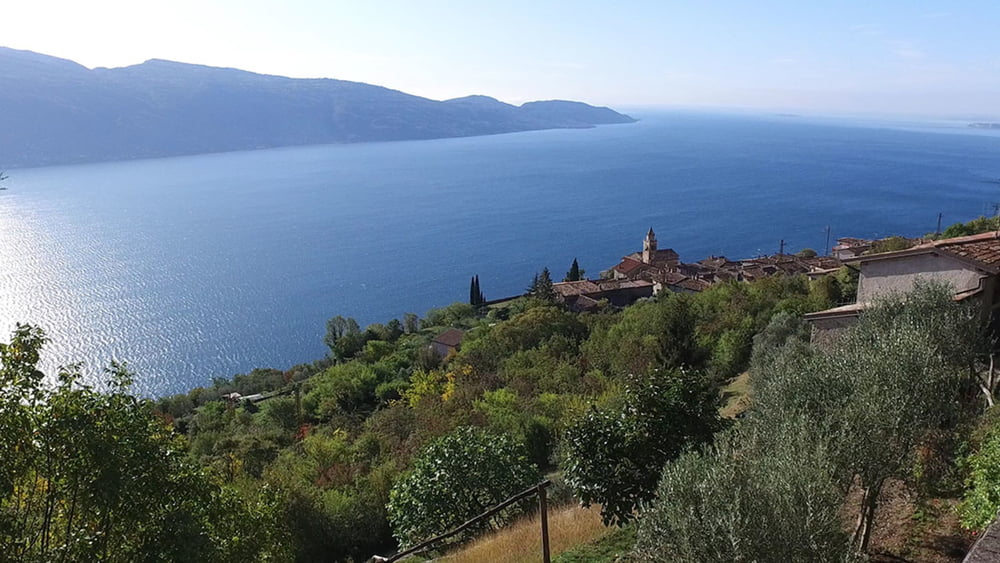
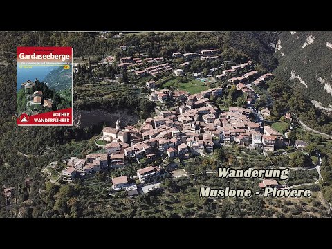
Wir durchlaufen den Ort Muslono und steigen zu dem 914m hohen Monte Rocchetta auf. Vom Gipfel geht es über Serpentinen hinab zum Ort Piovere. Muslone u. Piovere haben ihre Ursprünglichkeit bewahrt. Der weitere Weg führt durch Oliven Heine zu unserem Ausgangspunkt zurück.

Tour gallery

Tour map and elevation profile

  • Open Street Map
  • Google
Minimum height 387 m Maximum height 969 m Detailed view

More about the tour author

schleidy
Member since 2013

Send private message

Comments

GPS tracks

Trackpoints
  • GPX / Garmin Map Source (gpx) download
  • TCX / Garmin Training Center® (tcx) download
  • CRS / Garmin Training Center® (crs) download
  • Google Earth (kml) download
  • G7ToWin (g7t) download
  • TTQV (trk) download
  • Overlay (ovl) download
  • Fugawi (txt) download
  • Kompass (DAV) Track (tk) download
  • Track data sheet (pdf) download
  • Original file of the author (gpx) download

More about the tour author

schleidy
Member since 2013

Send private message
Share track
Add to my favorites
Remove from my favorites
Edit tags
My score
Rate
Track: Von Muslone nach Piovere
Type: Hiking
Distance: 9,9 km
Evaluated on:
Duration:
Day(s)
Hour(s)
Minute(s)
Score: Landscape Fun factor Fitness Technique