
 auf die Italienische Seite")

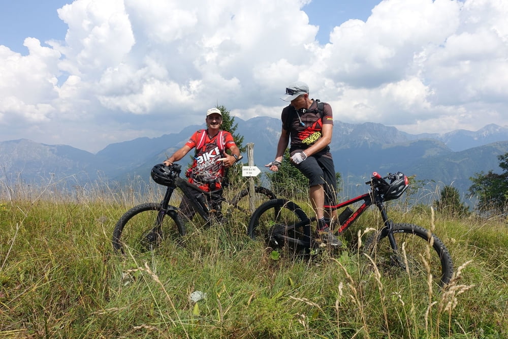
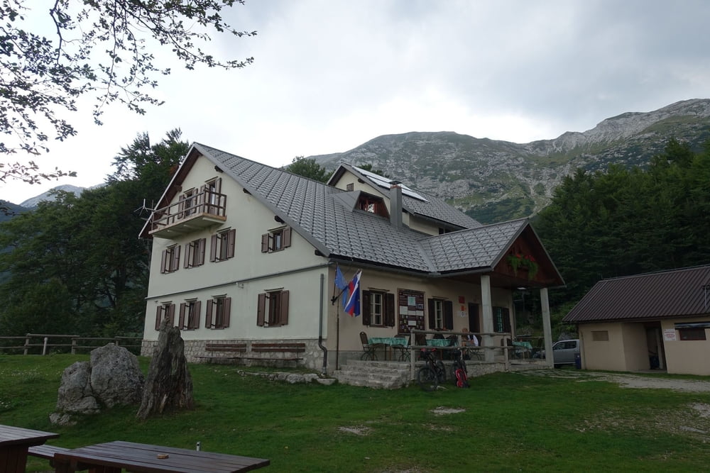
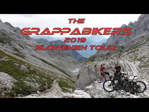
Unsere Tour 2019 startete in Kärnten und führte uns über den Weißensee nach Hermagor. Dann über das Dreiländereck (Arnoldstein) nach Slowenien. Dort haben wir die Orte Kranjska Gora, Bovec, Kobarid und Tolmin angesteuert. In jedem der Orte blieben wir zwei Nächte und machten dort jeweils eine Tages-Rundtour.
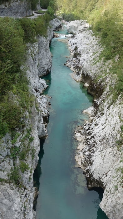
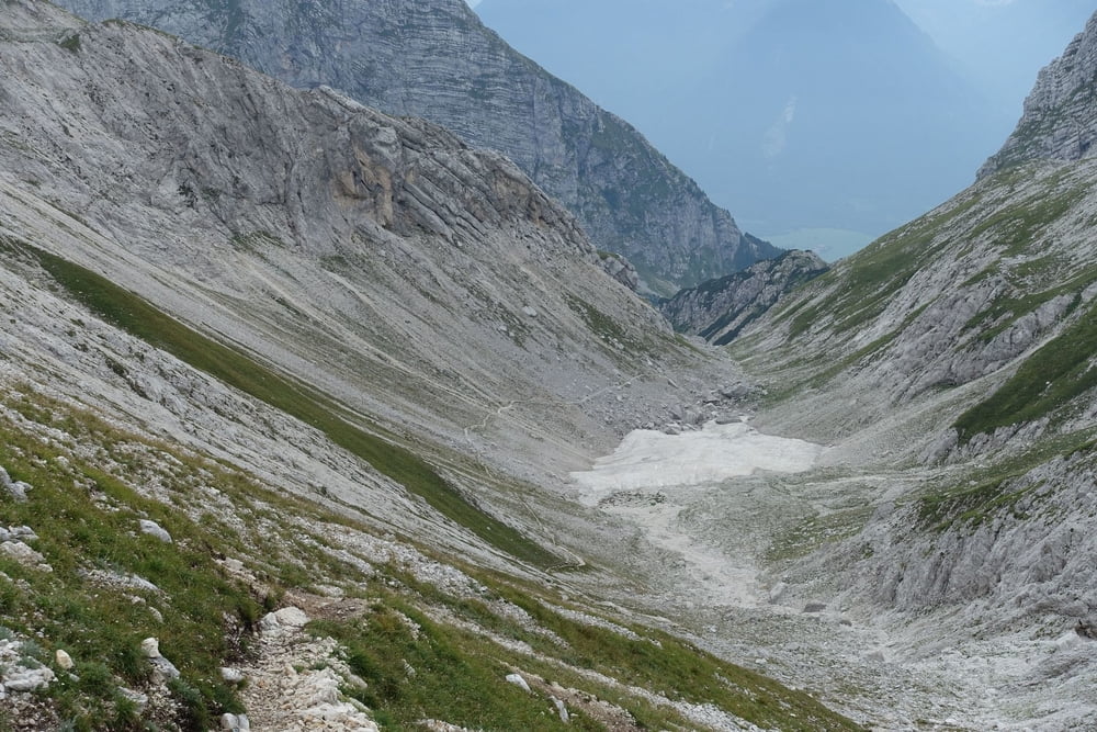
Die Rundtouren waren allesamt genial, wobei die große 8 bei Bovec nicht zu unterschätzen ist, was das fahrerische Können und die Ausdauer an Schiebe- und Tragepassagen angeht. Aber dafür ist die Landschaft grandios!
Schaut euch den Video dazu an, darin ist auch noch mal einiges an Erklärung zu finden. Er wird demnächst fertig und hier verlinkt...
Tour gallery

Tour map and elevation profile
Minimum height 158 m
Maximum height 2285 m
More about the tour author
|
|
GrappaBikers |
Comments

Wir sind mit dem Auto bis Kärnten / Oberkolbnitz und von da die Tour gestartet.
Zurück sind wir von Tolmin zum nächsten Bahnhof geradelt (Postaja) und von dort mit dem Zug nach Nova Gorica. Dann weiter mit der Bahn bis Udine. Dort hatten wir 5 Stunden Wartezeit, bis ein Zug und bis Villach gebracht hat. Von Villach über Spittal nach Möllbrücke und die restlichen 10 km bei Nacht und Regen bis zurück zum Ausgangsort. Nicht zum empfehlen! Besser vor Ort (oder vorher) einen Shuttleservice organisieren!
GPS tracks
Trackpoints-
GPX / Garmin Map Source (gpx) download
-
TCX / Garmin Training Center® (tcx) download
-
CRS / Garmin Training Center® (crs) download
-
Google Earth (kml) download
-
G7ToWin (g7t) download
-
TTQV (trk) download
-
Overlay (ovl) download
-
Fugawi (txt) download
-
Kompass (DAV) Track (tk) download
-
Track data sheet (pdf) download
-
Original file of the author (gpx) download
More about the tour author
|
|
GrappaBikers |
Add to my favorites
Remove from my favorites
Edit tags
Open track
My score
Rate