

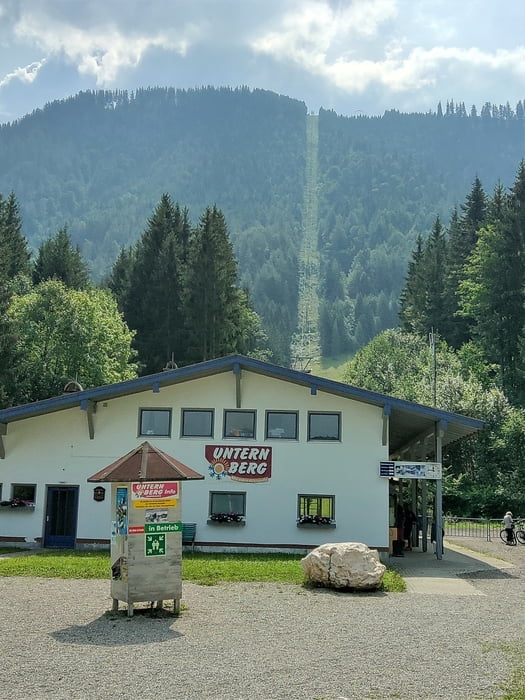
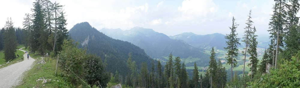
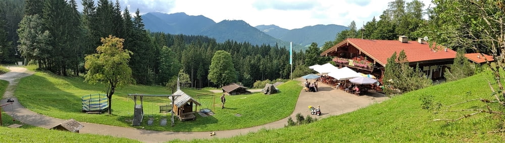
Von der Talstation Unternberglift (kostenlose Parkplätze) geht es auf steilen Forstwegen hinauf zum Gipfelplateau und auf (fast) demselben Weg wieder hinab. Einkehrgelegenheiten im Boiden Kaiser 15 min vor der Bergstation, in der Unternbergalm direkt an der Bergstation (trubelig und recht teuer) sowie auf der malerischen Raffneralm unweit des Tourenstarts. Die Raffneralm verfügt über einen ungemein schönen Spielplatz und Kaninchen, die die Kinder füttern dürfen. Als wird auf dem Rückweg dort einkehrten, spielte zudem ein Trio bayrische Volksmusik, was zur Idylle beitrug. Das rundete einen gelungenen Tourenstart in den Familienurlaub ab. Gegangen mit Kraxe und dreijährigem Kind. Die Tour wäre sicherlich auch mit Kinderwagen zu schaffen, da die Wege gut begehbar sind, aber aufgrund der Steilheit der Wege mit einiger Anstrengung verbunden.
Further information at
https://photos.app.goo.gl/YnpeZXvAkgN5JhmV7Tour gallery

Tour map and elevation profile
Minimum height 841 m
Maximum height 1422 m
More about the tour author
|
|
mackator |
Comments

Talstation Unternberglift
GPS tracks
Trackpoints-
GPX / Garmin Map Source (gpx) download
-
TCX / Garmin Training Center® (tcx) download
-
CRS / Garmin Training Center® (crs) download
-
Google Earth (kml) download
-
G7ToWin (g7t) download
-
TTQV (trk) download
-
Overlay (ovl) download
-
Fugawi (txt) download
-
Kompass (DAV) Track (tk) download
-
Track data sheet (pdf) download
-
Original file of the author (gpx) download
More about the tour author
|
|
mackator |
Add to my favorites
Remove from my favorites
Edit tags
Open track
My score
Rate