


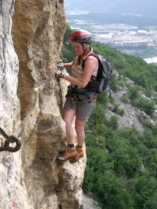
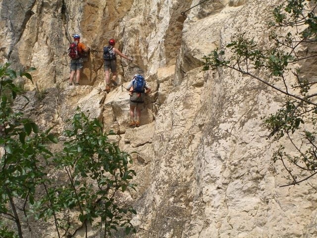
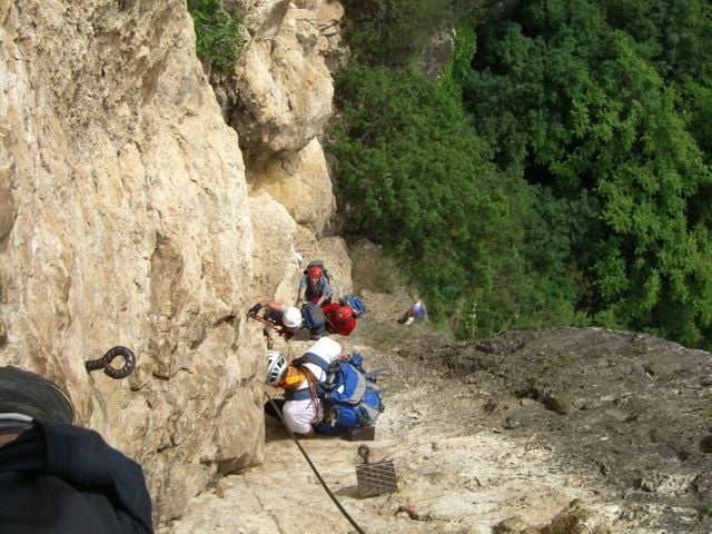
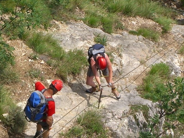
Schwerer Klettersteig oberhalb von Mori.
Anstrengender Steig mit schwieriger Stelle gleich am Einstieg. ( 3+) Danach immer in der senkrechten Wand hinauf bis zum Quergang. Sehr gute Sicherung mit Trittstiften und Stufen. Das Finale ist ein 60 Meter senkrechter Wandteil (Hakenverschneidung) zum Ausstieg.
Klettersteigset nicht ausziehen wenn der Abstieg über den rechten Klettersteig Rientro Atrezzato führt.
Tour gallery
Tour map and elevation profile
Minimum height 190 m
Maximum height 575 m
More about the tour author
|
|
renrew |
Comments

Mori liegt an der Brennerautobahn, Ausfahrt Rvereto Sud-Lago di Garda
GPS tracks
Trackpoints-
GPX / Garmin Map Source (gpx) download
-
TCX / Garmin Training Center® (tcx) download
-
CRS / Garmin Training Center® (crs) download
-
Google Earth (kml) download
-
G7ToWin (g7t) download
-
TTQV (trk) download
-
Overlay (ovl) download
-
Fugawi (txt) download
-
Kompass (DAV) Track (tk) download
-
Track data sheet (pdf) download
-
Original file of the author (gpx) download
More about the tour author
|
|
renrew |
Add to my favorites
Remove from my favorites
Edit tags
Open track
My score
Rate