Login

Forgotten password?

Cookies have to be accepted!
Your browser's cookie functionality is disabled. Please enable this functionality.

Not a member yet?

Register now
Login

Available for registred users only

Log in to use this feature.

Forgotten password?

Cookies have to be accepted!
Your browser's cookie functionality is disabled. Please enable this functionality.

Not a member yet?

Register now
Filter
Categories
Advanced filters
  • Distance (km)
  • Height
Save filters Reset filter

TrackRank

QRCode

Technical data

Distance7,8 km Height924 m Way down912 m Duration03:04 h:m Date07.02.2020
Scores Author Landscape Fun factor Fitness Technique

Statistics

226 Views Scores 20 Downloads Average
Rate
  • Track data sheet
  • Directions
  • Downloads
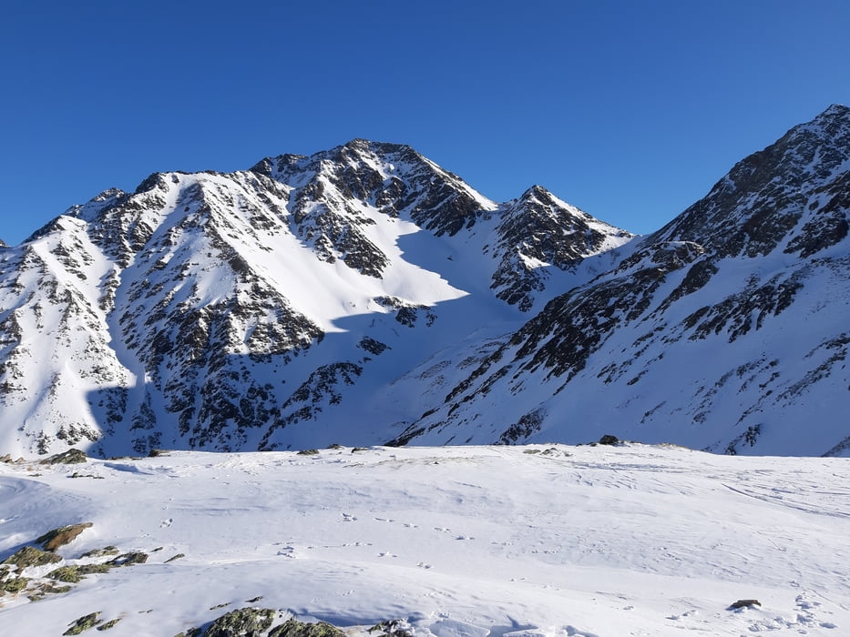
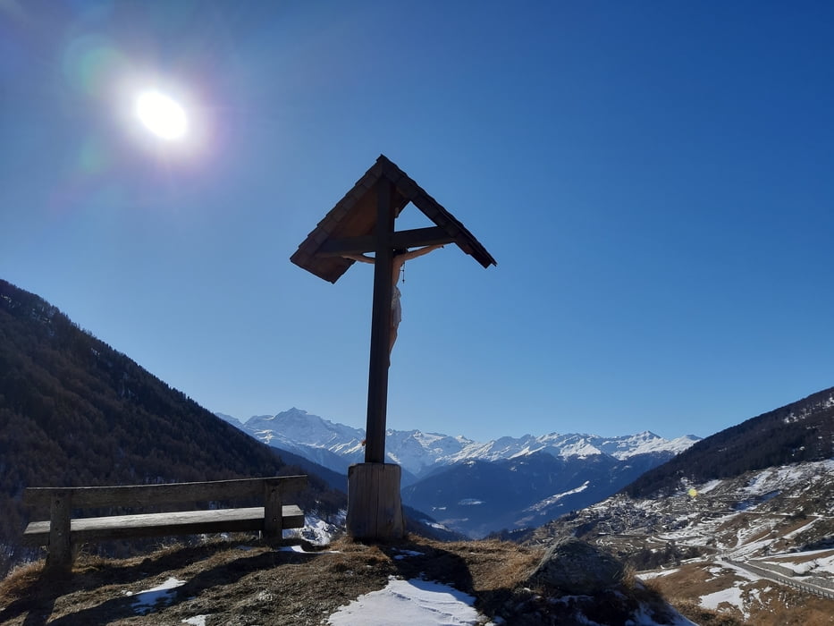
Bei Kaiserwetter sehr guter Anstieg. 
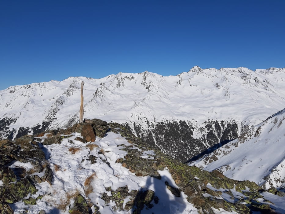
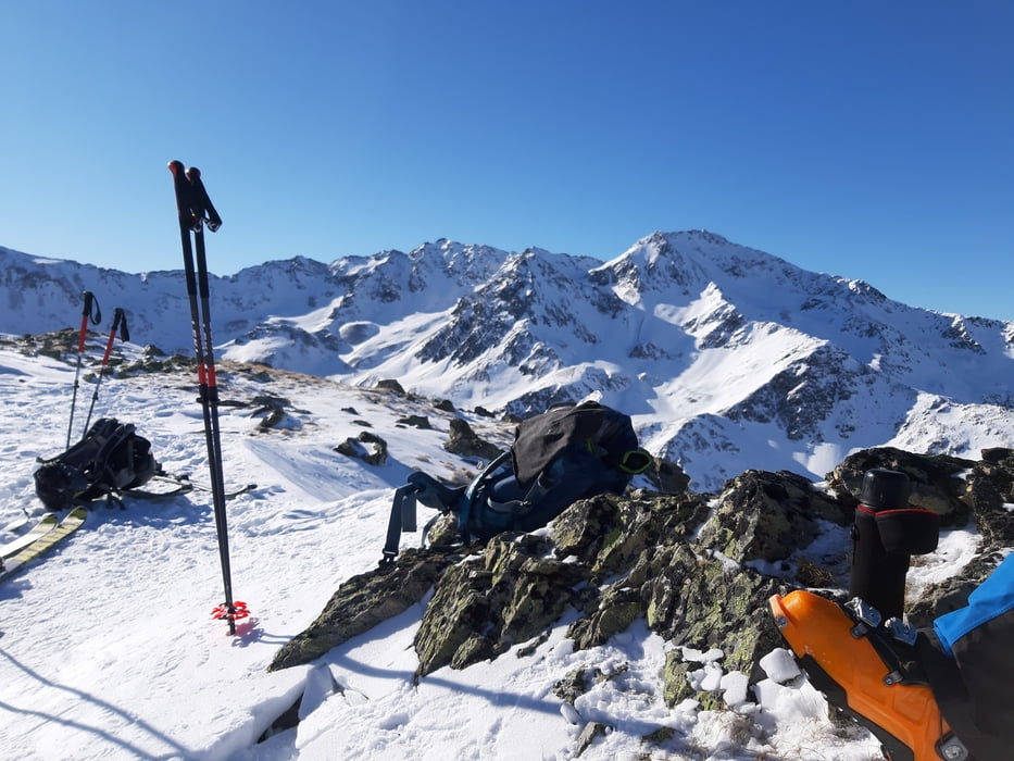
Am Gipfel grandiose Fernsicht auf die umliegenden Gipfel der Ötztaler Alpen und der Ortleralpen. 
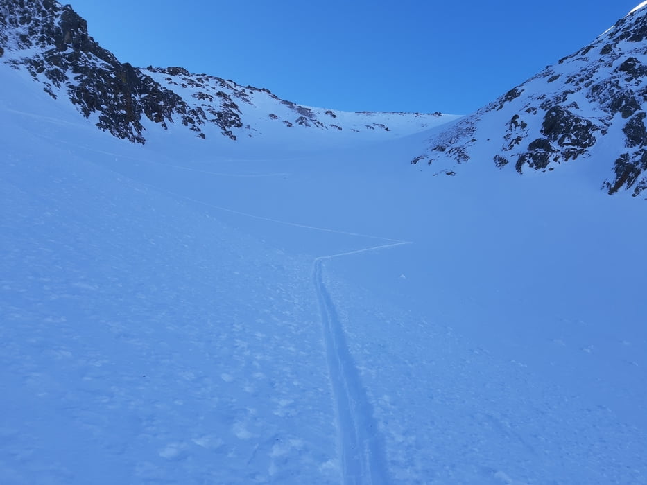
Abfahrt überraschend gut zu fahren.

Tour gallery

Tour map and elevation profile

  • Open Street Map
  • Google
Minimum height 1829 m Maximum height 2770 m Detailed view

More about the tour author

mitter
Member since 2008

Send private message

Comments

Start beim Gleishof.

GPS tracks

Trackpoints
  • GPX / Garmin Map Source (gpx) download
  • TCX / Garmin Training Center® (tcx) download
  • CRS / Garmin Training Center® (crs) download
  • Google Earth (kml) download
  • G7ToWin (g7t) download
  • TTQV (trk) download
  • Overlay (ovl) download
  • Fugawi (txt) download
  • Kompass (DAV) Track (tk) download
  • Track data sheet (pdf) download
  • Original file of the author (gpx) download

More about the tour author

mitter
Member since 2008

Send private message
Share track
Add to my favorites
Remove from my favorites
Edit tags
My score
Rate
Track: Rg. Wärter 200207
Type: Ski touring
Distance: 7,8 km
Evaluated on:
Duration:
Day(s)
Hour(s)
Minute(s)
Score: Landscape Fun factor Fitness Technique