
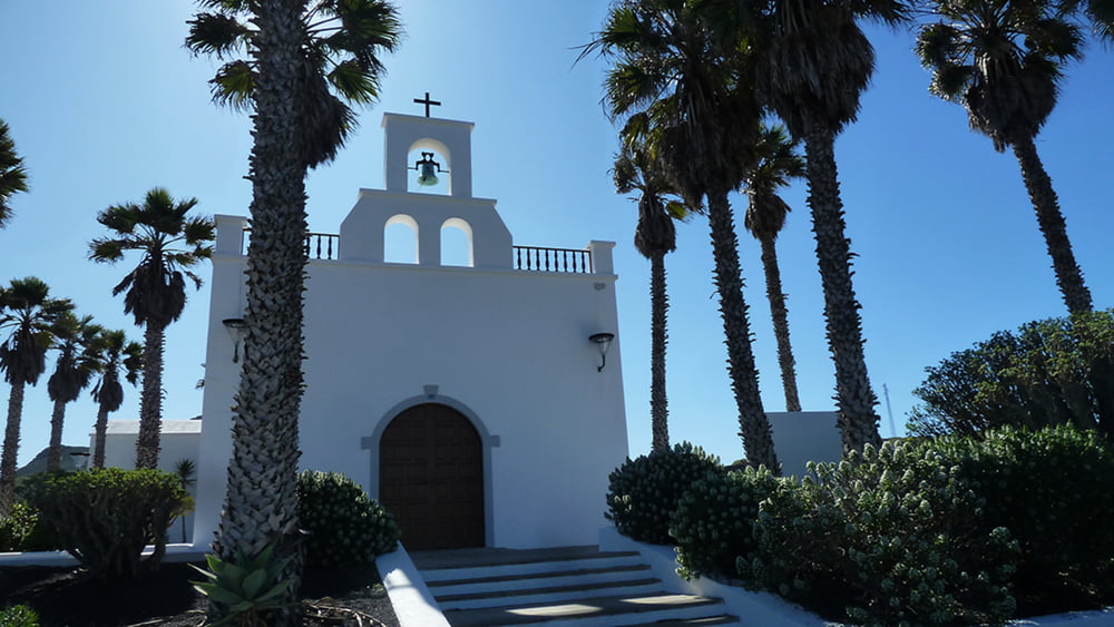

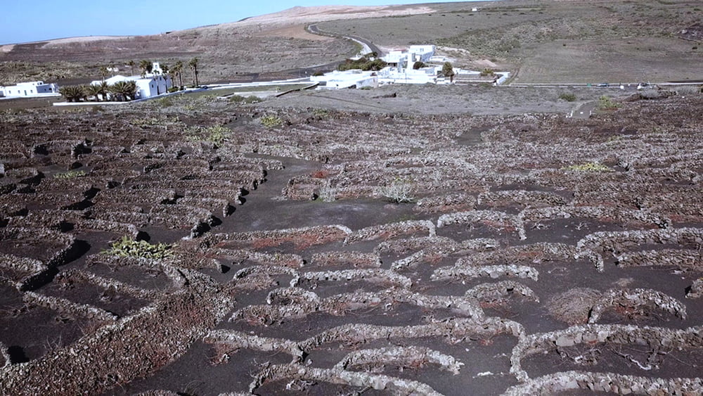
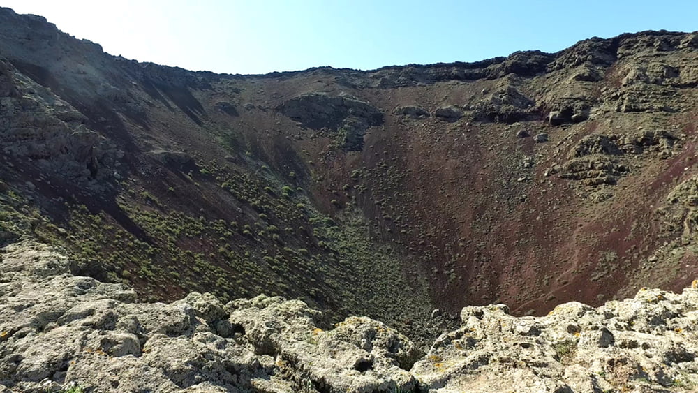
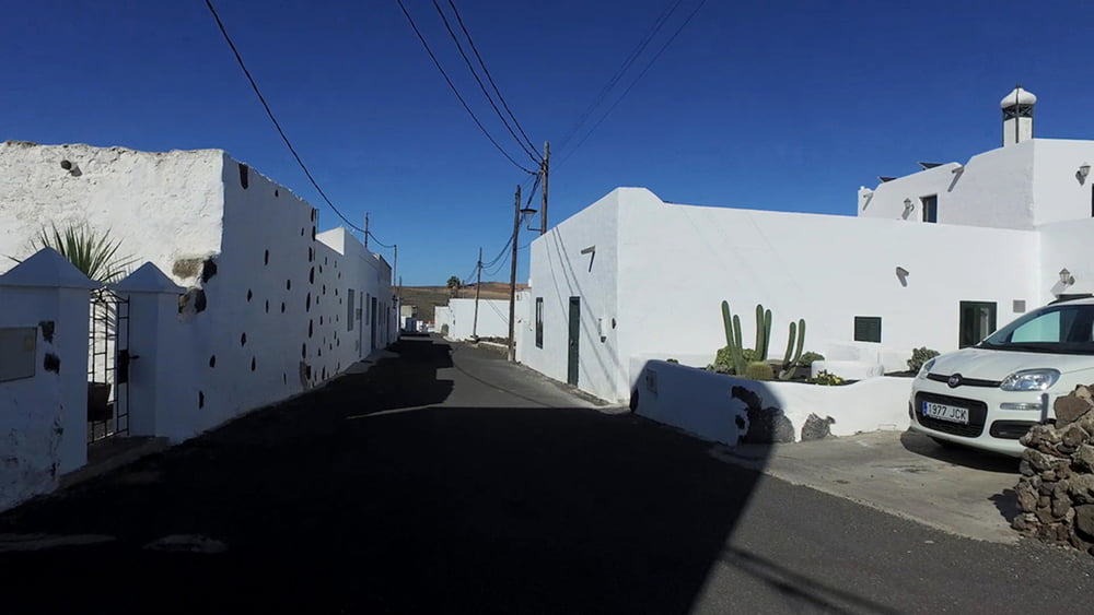
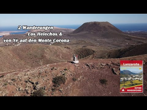
Von Yé auf den Monte Corona Wir verlassen die Hochebene Los Lomos de Gayo und fahren zur 7 km entfernten Ortschaft Yé, wo wir die zweite Wanderung starten. Das Auto parken wir am Ortseingang an der Pfarrkirche des Ortes. Weithin sichtbar überragt der Monte Corona die Vulkanlandschaft im Inselnorden. Mit seiner gezackten Krone macht der Bilderbuchvulkan seinem Namen alle Ehre. Durch Weinberge führt ein kurzer Weg zum Kraterrand hinauf. Wer ganz nahe am vulkanischen Geschehen sein will, kann von dort aus in den Krater absteigen.
Tour gallery
Tour map and elevation profile
Minimum height 345 m
Maximum height 500 m
More about the tour author
|
|
schleidy |
Comments

GPS tracks
Trackpoints-
GPX / Garmin Map Source (gpx) download
-
TCX / Garmin Training Center® (tcx) download
-
CRS / Garmin Training Center® (crs) download
-
Google Earth (kml) download
-
G7ToWin (g7t) download
-
TTQV (trk) download
-
Overlay (ovl) download
-
Fugawi (txt) download
-
Kompass (DAV) Track (tk) download
-
Track data sheet (pdf) download
-
Original file of the author (gpx) download
More about the tour author
|
|
schleidy |
Add to my favorites
Remove from my favorites
Edit tags
Open track
My score
Rate