


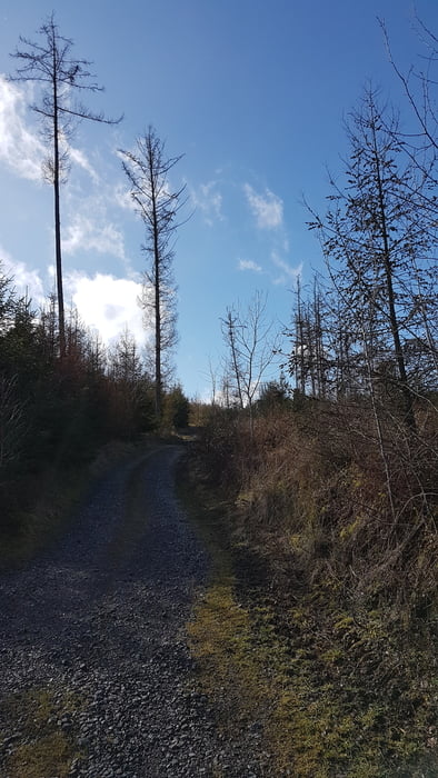
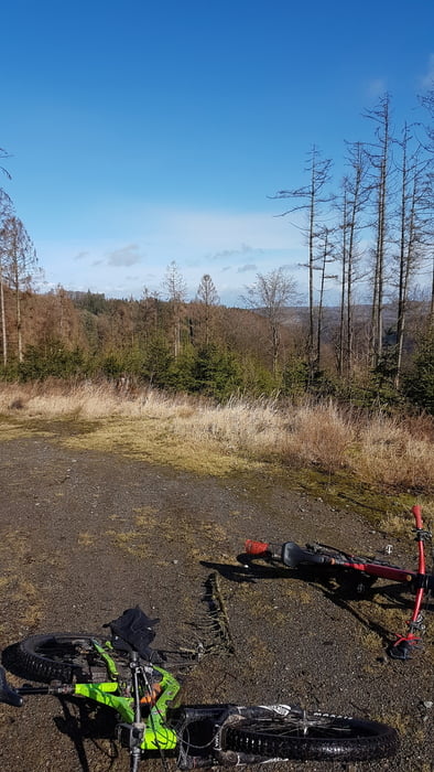
Wir beginnen unsere Tour unterhalb des Schlosses und kurbeln zu diesem hoch. Oben angekommen folgen wir dem weitverzweigten Wegenetz in Richtung Breitscheider Mühle. Von dort geht es auf dem anderen Bergrücken unterhalb des Lahmen Hasens zurück bis uns der Wald wieder ausspuckt und wir bei Taki einfallen können.
Diese griechische Pommensbude gibt es seit 45 Jahren.
Hier gibt es feines Leckeres.
Gehört meiner Meinung nach mit in den Buchband Frittenführer Ruhrgebiet/Märkisch Kongo.
Tour gallery
Tour map and elevation profile
Minimum height 125 m
Maximum height 443 m
More about the tour author
|
|
rotwilder |
Comments

Parken sollte hier kein Problem darstellen.
GPS tracks
Trackpoints-
GPX / Garmin Map Source (gpx) download
-
TCX / Garmin Training Center® (tcx) download
-
CRS / Garmin Training Center® (crs) download
-
Google Earth (kml) download
-
G7ToWin (g7t) download
-
TTQV (trk) download
-
Overlay (ovl) download
-
Fugawi (txt) download
-
Kompass (DAV) Track (tk) download
-
Track data sheet (pdf) download
-
Original file of the author (gpx) download
More about the tour author
|
|
rotwilder |
Add to my favorites
Remove from my favorites
Edit tags
Open track
My score
Rate