
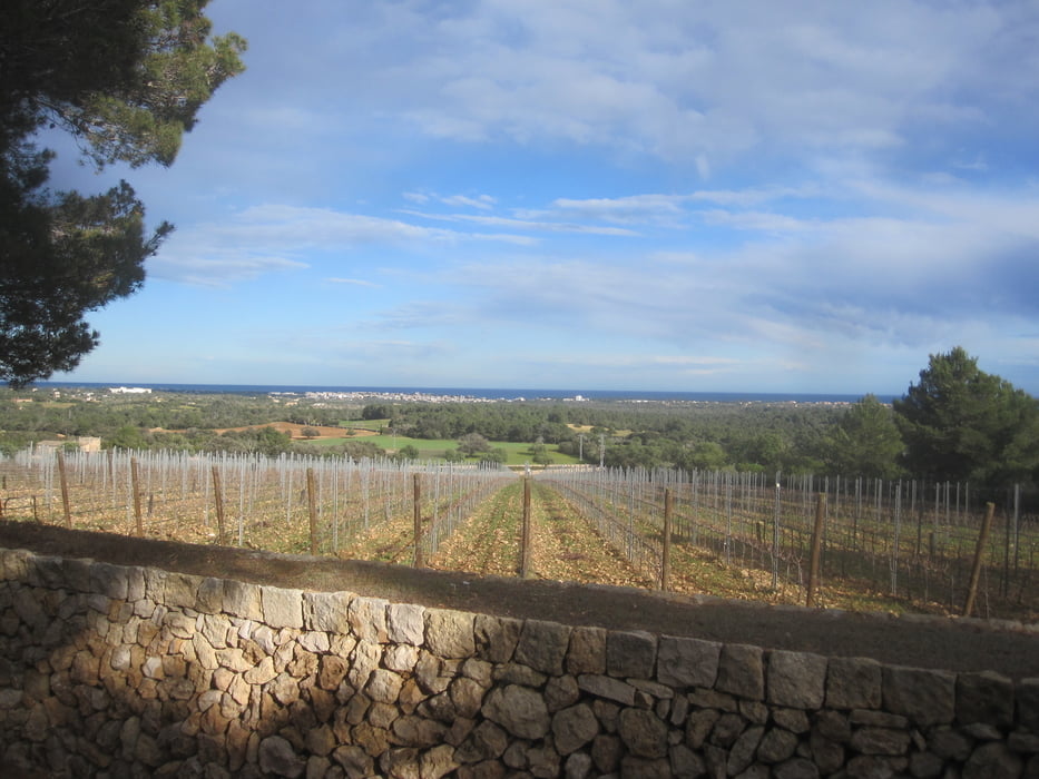

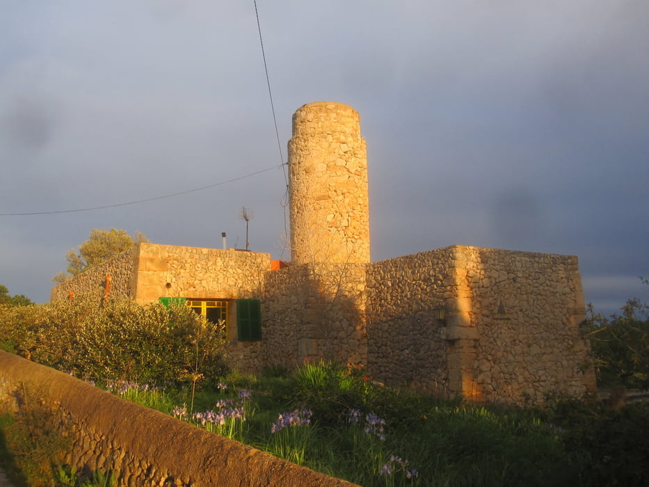
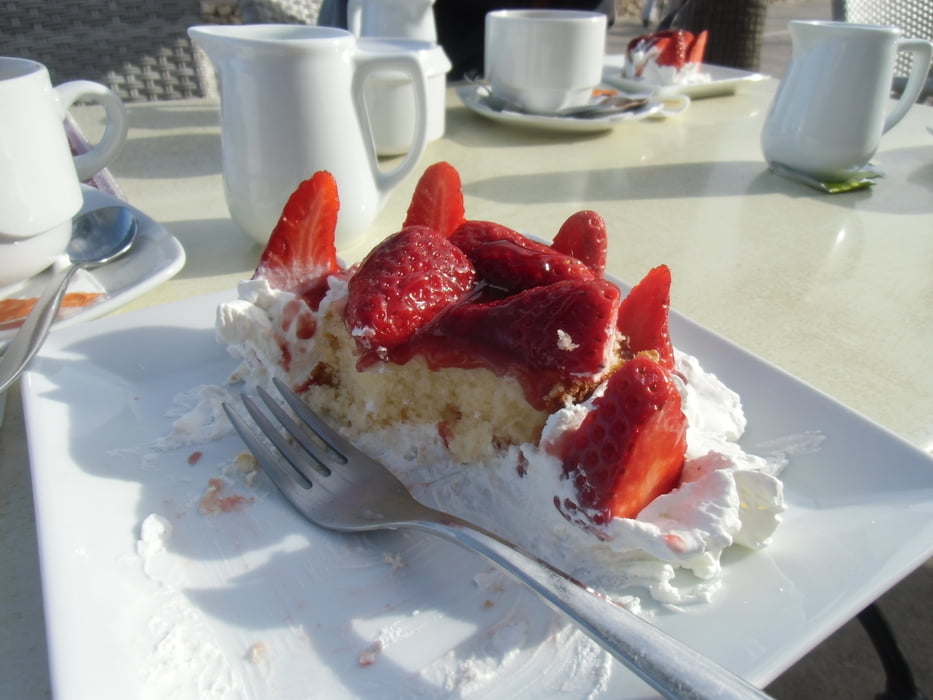
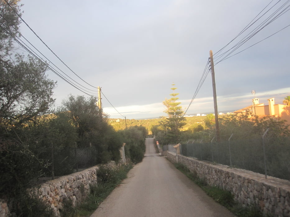
Von Cala Millor über Port Nou Richtung Cala Ratjada. Den Tunnel umfahren wir über einen kleinen autofreien Pass 6% Steigung auf ca. 1 km. Über eine etwas holprige, sanft ansteigende Nebenstrasse geht es nach Capdepera und Cala Ratjada. Hier ist ein schöner Aussichtspunkt, der leider wegen einer Baustelle heute nicht komplett erreicht wurde. Weiter geht es nach Arta, wo zahlreiche Cafes zur Pause einladen. Wellig geht es auf den Rückweg mit einer schönen Abfahrt durch eine tolle Landschaft nach Sant Llorenc des Cardassar und zurück ins Hotel.
Tour gallery
Tour map and elevation profile
Minimum height
Maximum height 238 m
More about the tour author
|
|
athena |
Comments

GPS tracks
Trackpoints-
GPX / Garmin Map Source (gpx) download
-
TCX / Garmin Training Center® (tcx) download
-
CRS / Garmin Training Center® (crs) download
-
Google Earth (kml) download
-
G7ToWin (g7t) download
-
TTQV (trk) download
-
Overlay (ovl) download
-
Fugawi (txt) download
-
Kompass (DAV) Track (tk) download
-
Track data sheet (pdf) download
-
Original file of the author (gpx) download
More about the tour author
|
|
athena |
Add to my favorites
Remove from my favorites
Edit tags
Open track
My score
Rate