
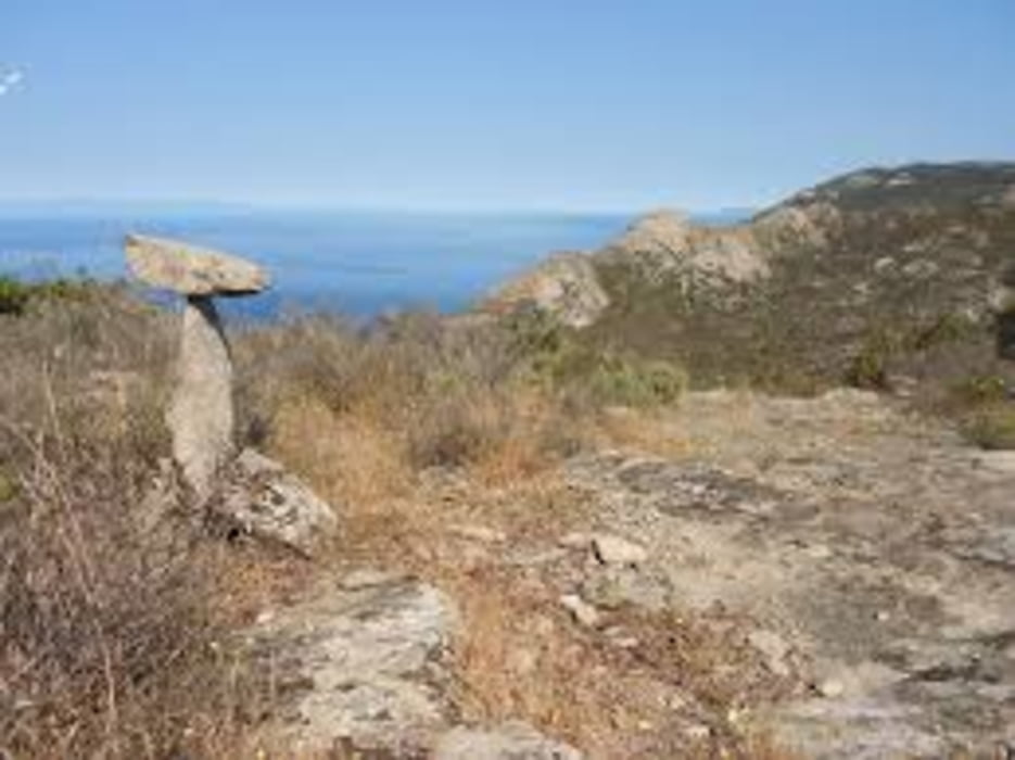

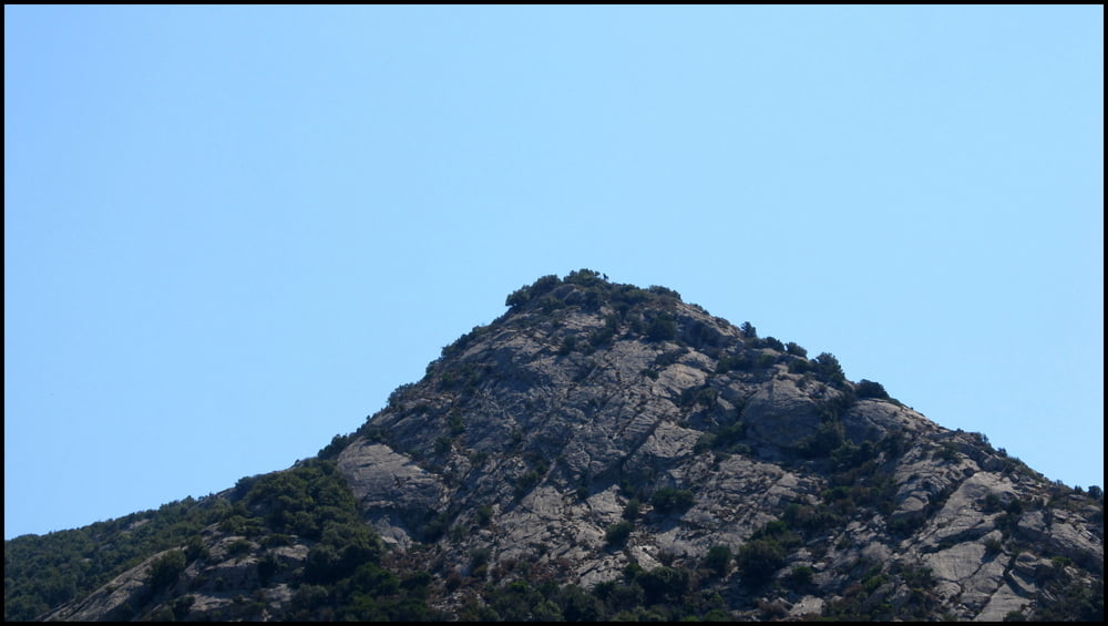
Lasciata l'auto a Pomonte si risale per ripido sentiero fino alla cima del monte Schiappone, Ogni tanto giratevi indietro a godrvi il panorama. Al primo bivio tenete la destra e salite in cima. A sinistra piccola deviazione per punto panoramico. Raggiunta la cima tenete la destra per il sentiero 131 segnato gte e per continui sali scendi oltrepassate vari caprili tenuti in buone condizioni. Al bivio successivo con il sentiero 109, dopo una pausa, scendete verso la valle di pomonte in una raro ambiente di foresta costeggiando un bellissimo torrente. Da qui ritornate al punto di partenza. Bagno in mare obbligatorio, ovviamente.
Further information at
http://www.islepark.it/Tour gallery
Tour map and elevation profile
Minimum height 17 m
Maximum height 645 m
More about the tour author

|
mikyross |
Comments

italy toscana livorno isola d'elba marciana località pomonte via del passatoio 100
GPS tracks
Trackpoints-
GPX / Garmin Map Source (gpx) download
-
TCX / Garmin Training Center® (tcx) download
-
CRS / Garmin Training Center® (crs) download
-
Google Earth (kml) download
-
G7ToWin (g7t) download
-
TTQV (trk) download
-
Overlay (ovl) download
-
Fugawi (txt) download
-
Kompass (DAV) Track (tk) download
-
Track data sheet (pdf) download
-
Original file of the author (gpx) download
More about the tour author
|
|
mikyross |
Add to my favorites
Remove from my favorites
Edit tags
Open track
My score
Rate