

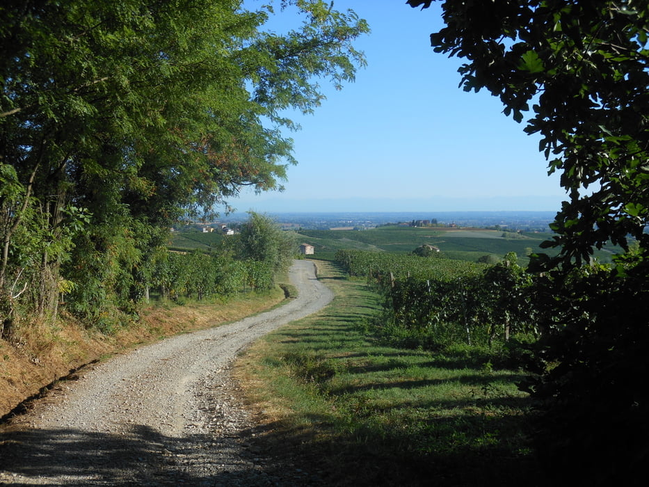
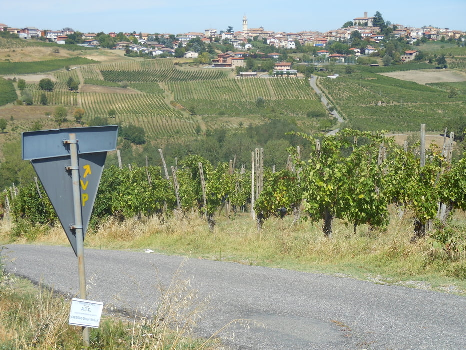
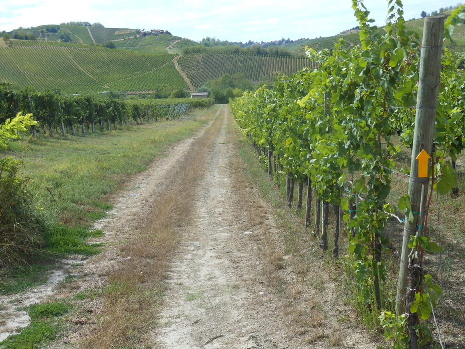
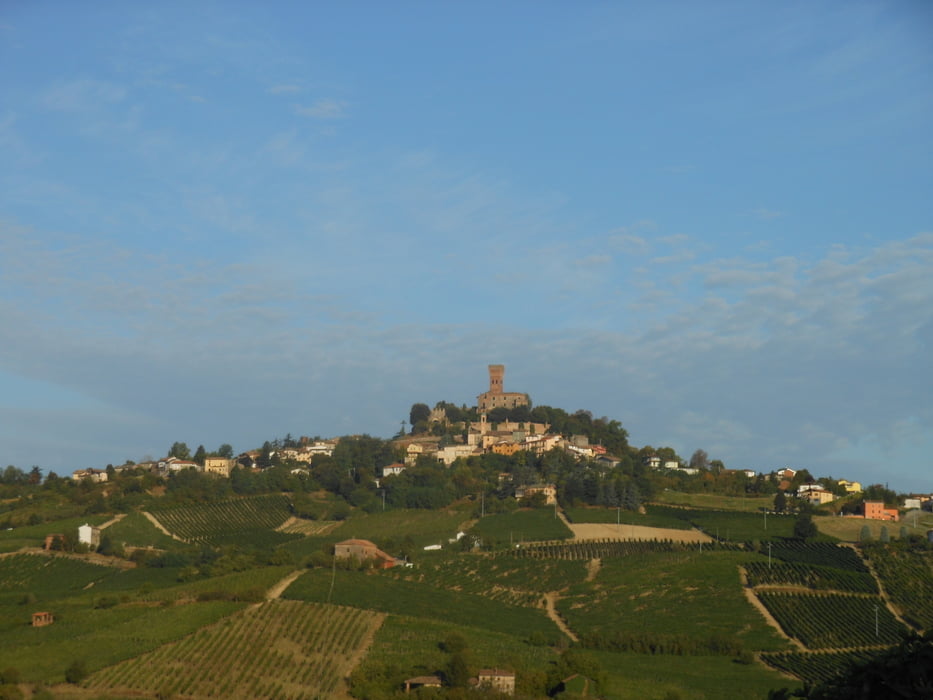
Dalla pianura si va verso Piacenza sull'argine del Po passando da Monticelli d'Ongina e San Nazzaro . Da Piacenza , bellissima cittadina, si va verso i colli , a Castelnovo val Tidone la prima salita e il paesaggio diventa padrone , tra i vigneti dello Ziano . Da qui in poi è un susseguirsi di bellezza paesaggistica da tavolozza . Arriveremo a Monteguzzo, dinanzi al castello di Cigognola.
Further information at
https://drive.google.com/open?id=1i0EnxPx4LqVzKWy64sDgyDz34MbNalmbTour gallery
Tour map and elevation profile
Minimum height 28 m
Maximum height 299 m
More about the tour author

|
viapostumia |
Comments

GPS tracks
Trackpoints-
GPX / Garmin Map Source (gpx) download
-
TCX / Garmin Training Center® (tcx) download
-
CRS / Garmin Training Center® (crs) download
-
Google Earth (kml) download
-
G7ToWin (g7t) download
-
TTQV (trk) download
-
Overlay (ovl) download
-
Fugawi (txt) download
-
Kompass (DAV) Track (tk) download
-
Track data sheet (pdf) download
-
Original file of the author (gpx) download
More about the tour author
|
|
viapostumia |
Add to my favorites
Remove from my favorites
Edit tags
Open track
My score
Rate