Login

Forgot your login?

Cookies have to be accepted!
Your browser's cookie functionality is disabled. Please enable this functionality.

Not a member yet?

Register now
Login

Available for registred users only

Log in to use this feature.

Forgot your login?

Cookies have to be accepted!
Your browser's cookie functionality is disabled. Please enable this functionality.

Not a member yet?

Register now
Filter
Categories
Advanced filters
  • Distance (km)
  • Height
Save filters Reset filter

TrackRank

QRCode

Technical data

Distance74,4 km Height340 m Way down339 m Duration03:30 h:m Date10.04.2020
Scores Author Landscape Fun factor Fitness Technique

Statistics

925 Views Scores 28 Downloads Average
Rate
  • Track data sheet
  • Directions
  • Downloads

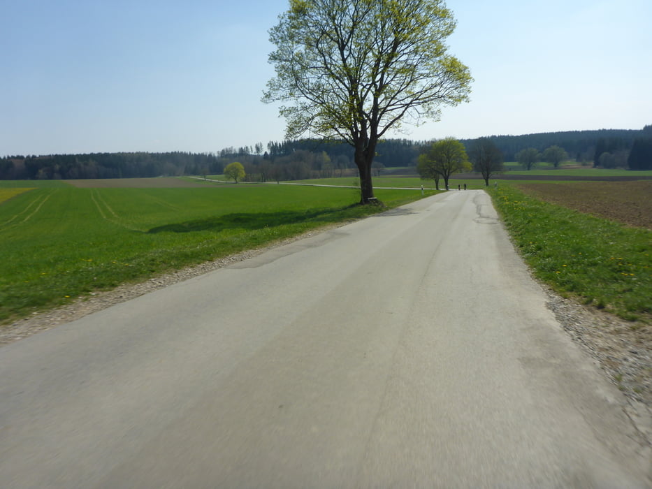
Von Niederraunau Richtung Süden. Bei klarem Wetter gibt es schöne Ausblicke in die Alpen.

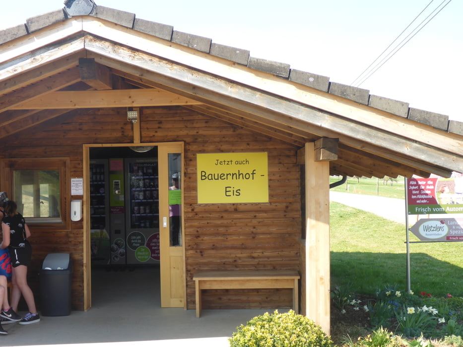
Die Tour führt gegen den Uhrzeigersinn. Bei Lindenhöf gibt ers einen Automat mit gutem Bio Eis.

Tour gallery

Tour map and elevation profile

  • Open Street Map
  • Google
Minimum height 517 m Maximum height 693 m Detailed view

More about the tour author

XD42
Member since 2008

Send private message

Comments

Start ist in Niederraunau beim Schloß mit guten Parkmöglichkeiten

GPS tracks

Trackpoints
  • GPX / Garmin Map Source (gpx) download
  • TCX / Garmin Training Center® (tcx) download
  • CRS / Garmin Training Center® (crs) download
  • Google Earth (kml) download
  • G7ToWin (g7t) download
  • TTQV (trk) download
  • Overlay (ovl) download
  • Fugawi (txt) download
  • Kompass (DAV) Track (tk) download
  • Track data sheet (pdf) download
  • Original file of the author (gpx) download

More about the tour author

XD42
Member since 2008

Send private message
Share track
Add to my favorites
Remove from my favorites
Edit tags
My score
Rate
Track: Von Niederraunau zum Paradies
Type: Road biking
Distance: 74,4 km
Evaluated on:
Duration:
Day(s)
Hour(s)
Minute(s)
Score: Landscape Fun factor Fitness Technique