

Gestartet wir wie meistens bei mir in Kalteneck am Bahnhof,
danach kann man gemütlich auf abgelegener Strasse einrollen,
dann folgen ein paar nette Wald und Wiesenwege. Ein stetiges auf und ab das man leicht schafft.
Vorbei an alter Mühle und oft durch Waldgebiete bevor wir auf einen schönen Trail in Fischhaus landen. Hier wieder an einem schönen Wanderweg entliang durch den Wald richtung Grubhof und Richting bevor es hier auf einem tollen Tral wieder an den Ilztalwanderweg geht und dann nachhause gerollt werden kann
Nur mit MTB fahrbar.
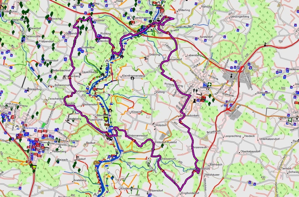
Tour map and elevation profile
Minimum height 332 m
Maximum height 494 m
More about the tour author
|
|
franz1962 |
Comments

GPS tracks
Trackpoints-
GPX / Garmin Map Source (gpx) download
-
TCX / Garmin Training Center® (tcx) download
-
CRS / Garmin Training Center® (crs) download
-
Google Earth (kml) download
-
G7ToWin (g7t) download
-
TTQV (trk) download
-
Overlay (ovl) download
-
Fugawi (txt) download
-
Kompass (DAV) Track (tk) download
-
Track data sheet (pdf) download
-
Original file of the author (gpx) download
More about the tour author
|
|
franz1962 |
Add to my favorites
Remove from my favorites
Edit tags
Open track
My score
Rate