


Starte meine Panoramarunde in Steyr.
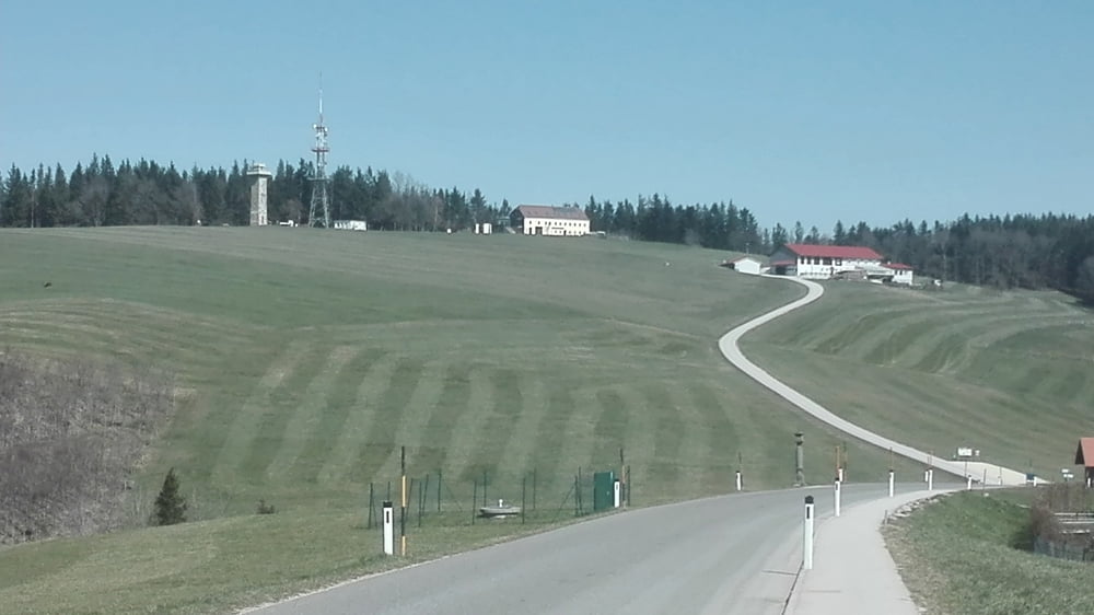
Nehme daher auch noch den Porscheberg und den Damberg mit. Von Kleinraming fahre ich die Hauptstr. Richtunf Neustift. Gibt zwar eine Variante auf Nebenstr., wollte etwas Kraft sparen. Der Forstweg (Kneipp Friedensweg) rauf nach Kürnberg ist eh sehr an anspruchsvoll. Von Kürnberg aus sehe ich schon die Elisabeth Warte, aber bevor ich sie erreiche geht´s noch ein paar mal rauf und runter. Das Waldstück vor der Warte ist ein schöner Teil. Nach der Warte ist eine lange Abfahrt auf Feld-u. Wiesenwegen. Nochmals rauf und runter, vorbei bei 2 Mostbauern, runter nach Kleinraming und über Damberg wieder retour nach Steyr.
Diese Tour hat zwar viele Asphaltstücke, aber sehr wenig befahren. Auch das Teistück auf der Neustifter Strasse.
Tour gallery

Tour map and elevation profile
Minimum height 270 m
Maximum height 733 m
More about the tour author
|
|
Ritchy3 |
Comments

Gestartet bin ich an der Werndlst. in Steyr an Stadtrand zu Garsten, bein Sparparkplatz.
GPS tracks
Trackpoints-
GPX / Garmin Map Source (gpx) download
-
TCX / Garmin Training Center® (tcx) download
-
CRS / Garmin Training Center® (crs) download
-
Google Earth (kml) download
-
G7ToWin (g7t) download
-
TTQV (trk) download
-
Overlay (ovl) download
-
Fugawi (txt) download
-
Kompass (DAV) Track (tk) download
-
Track data sheet (pdf) download
-
Original file of the author (gpx) download
More about the tour author
|
|
Ritchy3 |
Add to my favorites
Remove from my favorites
Edit tags
Open track
My score
Rate