
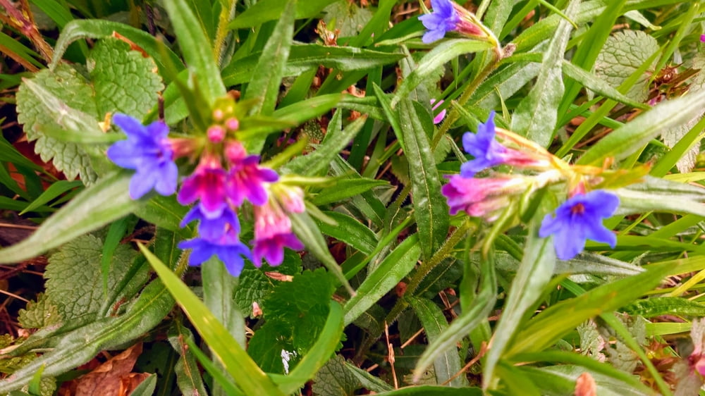

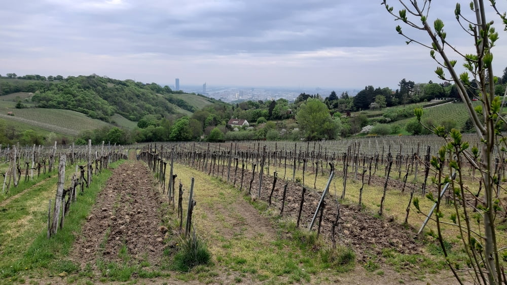
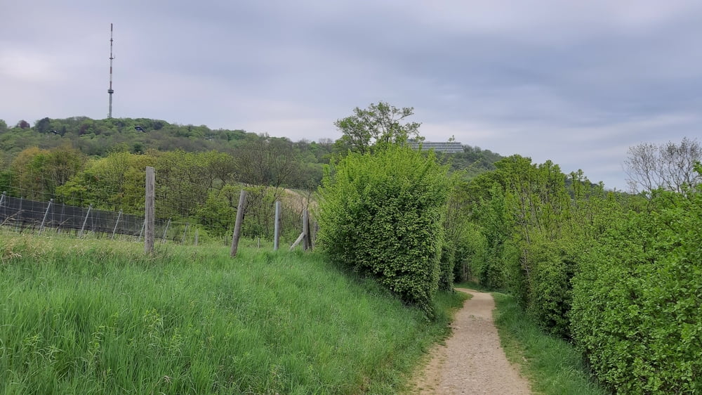
Schöne Tour mit einigen neuen trails Richtung Heuberg, Hameau und Kahlenberg. Bei der aktuellen Trockenheit sind die Wegerl sehr gut fahrbar.
Tour gallery


Tour map and elevation profile
Minimum height 155 m
Maximum height 518 m
More about the tour author
|
|
mitter |
Comments

Start in Meidling, Nähe Bahnhof.
GPS tracks
Trackpoints-
GPX / Garmin Map Source (gpx) download
-
TCX / Garmin Training Center® (tcx) download
-
CRS / Garmin Training Center® (crs) download
-
Google Earth (kml) download
-
G7ToWin (g7t) download
-
TTQV (trk) download
-
Overlay (ovl) download
-
Fugawi (txt) download
-
Kompass (DAV) Track (tk) download
-
Track data sheet (pdf) download
-
Original file of the author (gpx) download
More about the tour author
|
|
mitter |
Add to my favorites
Remove from my favorites
Edit tags
Open track
My score
Rate