Login

Forgot your login?

Cookies have to be accepted!
Your browser's cookie functionality is disabled. Please enable this functionality.

Not a member yet?

Register now
Login

Available for registred users only

Log in to use this feature.

Forgot your login?

Cookies have to be accepted!
Your browser's cookie functionality is disabled. Please enable this functionality.

Not a member yet?

Register now
Filter
Categories
Advanced filters
  • Distance (km)
  • Height
Save filters Reset filter

TrackRank

QRCode

Technical data

Distance48,3 km Height916 m Way down916 m Duration03:39 h:m Date09.05.2020
Scores Author Landscape Fun factor Fitness Technique

Statistics

245 Views Scores 12 Downloads Average
Rate
  • Track data sheet
  • Directions
  • Downloads
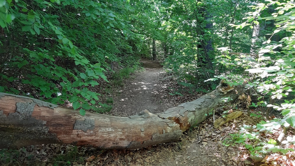
Wientalradweg bis Wolf in der Au. Von Hadersdorf interessante Auf- und Abfahrt Richtung Riegler Hütte, mit einem guten trail. Von Neuwaldegg den gewohnten Weg zum Hameau und dann weiter zum Kahlenberg.

Tour gallery

Tour map and elevation profile

  • Open Street Map
  • Google
Minimum height 159 m Maximum height 522 m Detailed view

More about the tour author

mitter
Member since 2008

Send private message

Comments

Start in Meidling, Nähe Bahnhof.

GPS tracks

Trackpoints
  • GPX / Garmin Map Source (gpx) download
  • TCX / Garmin Training Center® (tcx) download
  • CRS / Garmin Training Center® (crs) download
  • Google Earth (kml) download
  • G7ToWin (g7t) download
  • TTQV (trk) download
  • Overlay (ovl) download
  • Fugawi (txt) download
  • Kompass (DAV) Track (tk) download
  • Track data sheet (pdf) download
  • Original file of the author (gpx) download

More about the tour author

mitter
Member since 2008

Send private message
Share track
Add to my favorites
Remove from my favorites
Edit tags
My score
Rate
Track: Riegler Hütte-Hameau-Kahlenberg 200507
Type: Mountain bike
Distance: 48,3 km
Evaluated on:
Duration:
Day(s)
Hour(s)
Minute(s)
Score: Landscape Fun factor Fitness Technique