


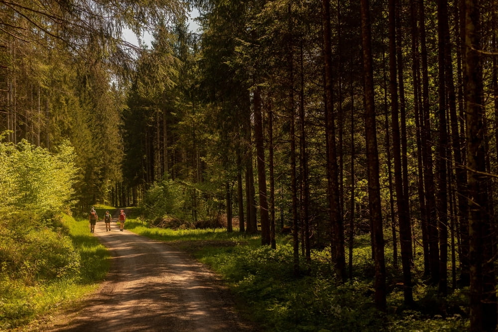
Einiges an Kilometern, wenige Höhenmeter - mehr gibts dazu eigentlich nicht zu berichten. Die Tour geht Anfangs auf Asphalt und wenig später auf gut begehbaren Forstwegen und zum Schluss ein kurzen und erdverschmierten Wurzelsteig hinauf zum Aussichtspunkt des Zwieselberg.
An Kräutern gabs unterwegs so einiges zu Sammeln...
Die Route ist auch als Radweg ausgeschiledert, entsprechend viele Biker waren dann auch unterwegs.
Anfahrt geht auch mit der Bahn bis Bahnhof Seeg.
Further information at
https://www.vollrath-photography.de/Tour gallery


Tour map and elevation profile
Minimum height 784 m
Maximum height 1038 m
More about the tour author
|
|
Pointer |
Comments

von Augsburg über die B17, A96 und die B16 über Marktoberdorf bis nach Bahnhof Seeg. Hier gibts einen P+R Parkplatz und ab diesem startet auch die Tour.
GPS tracks
Trackpoints-
GPX / Garmin Map Source (gpx) download
-
TCX / Garmin Training Center® (tcx) download
-
CRS / Garmin Training Center® (crs) download
-
Google Earth (kml) download
-
G7ToWin (g7t) download
-
TTQV (trk) download
-
Overlay (ovl) download
-
Fugawi (txt) download
-
Kompass (DAV) Track (tk) download
-
Track data sheet (pdf) download
-
Original file of the author (gpx) download
More about the tour author
|
|
Pointer |
Add to my favorites
Remove from my favorites
Edit tags
Open track
My score
Rate