Login

Forgot your login?

Cookies have to be accepted!
Your browser's cookie functionality is disabled. Please enable this functionality.

Not a member yet?

Register now
Login

Available for registred users only

Log in to use this feature.

Forgot your login?

Cookies have to be accepted!
Your browser's cookie functionality is disabled. Please enable this functionality.

Not a member yet?

Register now
Filter
Categories
Advanced filters
  • Distance (km)
  • Height
Save filters Reset filter

TrackRank

QRCode

Technical data

Distance12,8 km Height303 m Way down304 m Duration00:43 h:m Date19.06.2008
Scores Author Landscape Fun factor Fitness Technique

Statistics

169 Views Scores 31 Downloads Average
Rate
  • Track data sheet
  • Directions
  • Downloads

Circuit familial pour une agréable sortie de moins de 2h sur des chemins forestiers. Attention toutefois à la descente à travers champs depuis l'ancienne école de Bois de Chênes qui finit par une portion raide et caillouteuse, descendre à pied.
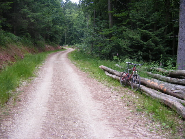
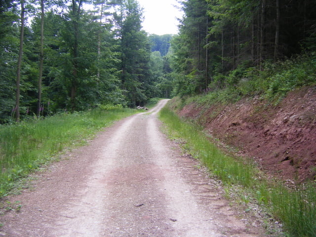
Tour gallery

Tour map and elevation profile

  • Open Street Map
  • Google
Minimum height 297 m Maximum height 374 m Detailed view

More about the tour author

pascal.67
Member since 2008

Send private message

Comments

GPS tracks

Trackpoints
  • GPX / Garmin Map Source (gpx) download
  • TCX / Garmin Training Center® (tcx) download
  • CRS / Garmin Training Center® (crs) download
  • Google Earth (kml) download
  • G7ToWin (g7t) download
  • TTQV (trk) download
  • Overlay (ovl) download
  • Fugawi (txt) download
  • Kompass (DAV) Track (tk) download
  • Track data sheet (pdf) download
  • Original file of the author (gpx) download

More about the tour author

pascal.67
Member since 2008

Send private message
Share track
Add to my favorites
Remove from my favorites
Edit tags
My score
Rate
Track: Circuit VTT n°5 de Danne et Quatre Vents
Type: Mountain bike
Distance: 12,8 km
Evaluated on:
Duration:
Day(s)
Hour(s)
Minute(s)
Score: Landscape Fun factor Fitness Technique