Login

Forgot your login?

Cookies have to be accepted!
Your browser's cookie functionality is disabled. Please enable this functionality.

Not a member yet?

Register now
Login

Available for registred users only

Log in to use this feature.

Forgot your login?

Cookies have to be accepted!
Your browser's cookie functionality is disabled. Please enable this functionality.

Not a member yet?

Register now
Filter
Categories
Advanced filters
  • Distance (km)
  • Height
Save filters Reset filter

TrackRank

QRCode

Technical data

Distance23,8 km Height779 m Way down778 m Duration01:30 h:m Date19.06.2008
Scores Author Landscape Fun factor Fitness Technique

Statistics

305 Views Scores 57 Downloads Average
Rate
  • Track data sheet
  • Directions
  • Downloads

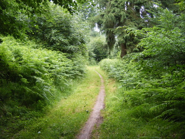
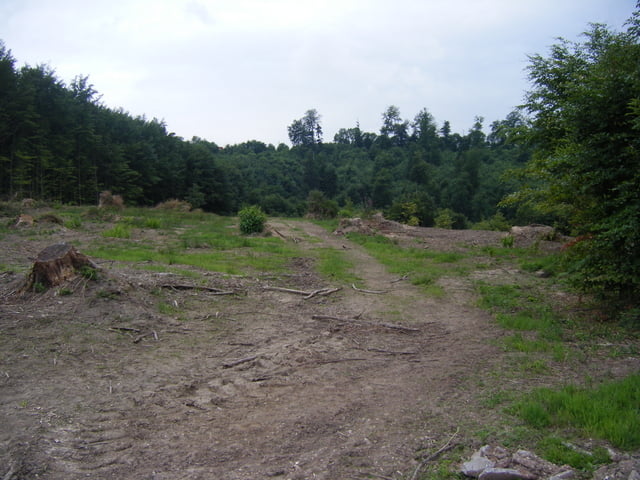
Parcours un peu plus sportif qui reste techniquement abordable. Il permet de rejoindre le site de pèlerinage de Bonne Fontaine et le rocher de la Bande Noire, piton de grès imposant sous lequel il est bon de s'arrêter pour se rafraichir lors des sorties estivales.

Tour gallery

Tour map and elevation profile

  • Open Street Map
  • Google
Minimum height 198 m Maximum height 409 m Detailed view

More about the tour author

pascal.67
Member since 2008

Send private message

Comments

GPS tracks

Trackpoints
  • GPX / Garmin Map Source (gpx) download
  • TCX / Garmin Training Center® (tcx) download
  • CRS / Garmin Training Center® (crs) download
  • Google Earth (kml) download
  • G7ToWin (g7t) download
  • TTQV (trk) download
  • Overlay (ovl) download
  • Fugawi (txt) download
  • Kompass (DAV) Track (tk) download
  • Track data sheet (pdf) download
  • Original file of the author (gpx) download

More about the tour author

pascal.67
Member since 2008

Send private message
Share track
Add to my favorites
Remove from my favorites
Edit tags
My score
Rate
Track: Circuit VTT n°4 de Bonne Fontaine
Type: Mountain bike
Distance: 23,8 km
Evaluated on:
Duration:
Day(s)
Hour(s)
Minute(s)
Score: Landscape Fun factor Fitness Technique