
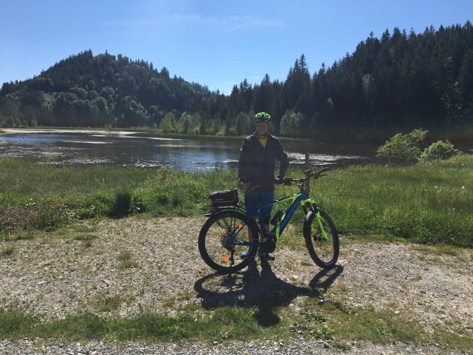

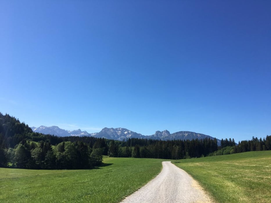
Eine überwiegend gemütliche Tour meist auf kleinen Strassen oder Feld- und Waldwegen. Manchmal gab es auch kleinere Pfade.
Von Seeg aus über einsame Strassen bis nach Pfronten. Von da aus weiter nach Nesselwang zur Kaffeepause. Hier führt der Weg ein Stück neben der B309 auf einem Radweg. Nach Görisried über der Wertach. Dann runter zu ihr und wieder flott nach oben nach Lengenwang. Jetzt sinds nur noch ein paar KM bis Seeg.
Tour gallery
Tour map and elevation profile
Minimum height 679 m
Maximum height 965 m
More about the tour author
|
|
tazzo |
Comments

Von Markoberdorf auf der Staatsstraße bis nach Seeg zum Bahnhof.
GPS tracks
Trackpoints-
GPX / Garmin Map Source (gpx) download
-
TCX / Garmin Training Center® (tcx) download
-
CRS / Garmin Training Center® (crs) download
-
Google Earth (kml) download
-
G7ToWin (g7t) download
-
TTQV (trk) download
-
Overlay (ovl) download
-
Fugawi (txt) download
-
Kompass (DAV) Track (tk) download
-
Track data sheet (pdf) download
-
Original file of the author (gpx) download
More about the tour author
|
|
tazzo |
Add to my favorites
Remove from my favorites
Edit tags
Open track
My score
Rate