


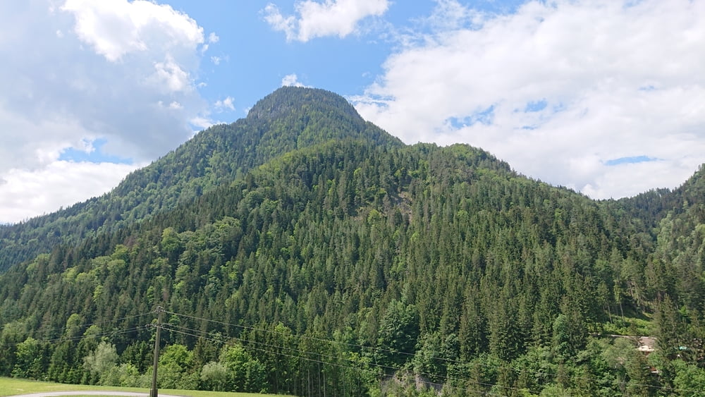
Wir Starten in Hopfgarten im Brixental und nehmen den Radweg Richtung Wörgl. Im Gemeindegebiet von Kirchbichl biegen wir beim Anzen-Steinbruch ab Richtung Bad Häring, vor uns der "Große Pöven" der Markant in die höhe ragt. Weiter der L208 folgend nach Schwoich und Richtung Söll. In Söll folgen wir zuerst dem Radweg nach Wörgl und auf höhe der Salvista Bahn Talstation dann nach Itter. Von Itter geht´s wieder hinab zu unserem Ausgangspunkt nach Hopfgarten.
Tour gallery
Tour map and elevation profile
Minimum height 567 m
Maximum height 801 m
More about the tour author
|
|
hetzenauerm |
Comments

GPS tracks
Trackpoints-
GPX / Garmin Map Source (gpx) download
-
TCX / Garmin Training Center® (tcx) download
-
CRS / Garmin Training Center® (crs) download
-
Google Earth (kml) download
-
G7ToWin (g7t) download
-
TTQV (trk) download
-
Overlay (ovl) download
-
Fugawi (txt) download
-
Kompass (DAV) Track (tk) download
-
Track data sheet (pdf) download
-
Original file of the author (gpx) download
More about the tour author
|
|
hetzenauerm |
Add to my favorites
Remove from my favorites
Edit tags
Open track
My score
Rate