


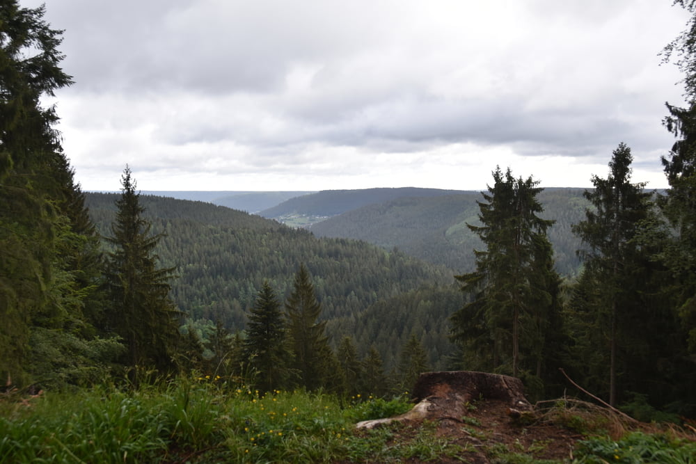
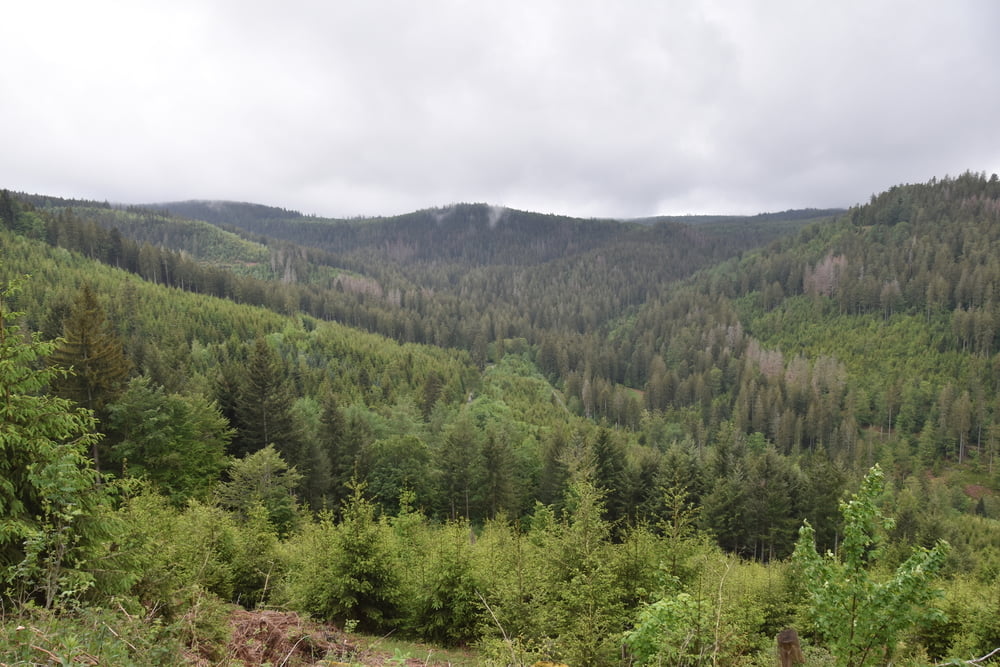
Bevor wir wieder nach Hause fahren müssen haben wir noch eine Runde gedreht. Das Wetter war oben leider noch ziemlich bewölkt, daher sind wir nicht bis zum Schliffkopf gefahren, sondern schon vor Zuflucht wieder ins Tal runter gefahren.
Oben wars auch noch richtig frisch mit 6°C. Da machen die Handschuhe Sinn.
Sonst ist das eine sehr schöne Tour, quasi ohne Forstwege. Alles ist geteert oder sehr guter Forstweg. Die Steigung ab Baiersbronn ist recht human und geht - soweit ich mich erinnere - immer unter 10%. Im Ort Kniebis ist mal steiler, aber nur ganz kurz.
Die Abfahrt ist auch geteert und man kann es oft laufen lassen, so dass die Bremsen sicher nicht überhitzen.
Further information at
https://www.baiersbronn.de/de-de/natur/mountainbikingTour gallery

Tour map and elevation profile
Minimum height 542 m
Maximum height 976 m
More about the tour author

|
smartandem |
Comments

Aus der Richtung Stuttgart über die A81 bis Horb fahren. Ab Horb auf die B28 nach Freudenstadt . Je nachdem von wo man starten will, kann man an den Wanderparkplätzen oder im Ort parken.
An der Schwarzwaldhochstraße sind auch einige Parkplätze. Ob die was kosten weiß ich nicht. Unten in Buhlbach kostet nix.
GPS tracks
Trackpoints-
GPX / Garmin Map Source (gpx) download
-
TCX / Garmin Training Center® (tcx) download
-
CRS / Garmin Training Center® (crs) download
-
Google Earth (kml) download
-
G7ToWin (g7t) download
-
TTQV (trk) download
-
Overlay (ovl) download
-
Fugawi (txt) download
-
Kompass (DAV) Track (tk) download
-
Track data sheet (pdf) download
-
Original file of the author (gpx) download
More about the tour author
|
|
smartandem |
Add to my favorites
Remove from my favorites
Edit tags
Open track
My score
Rate