


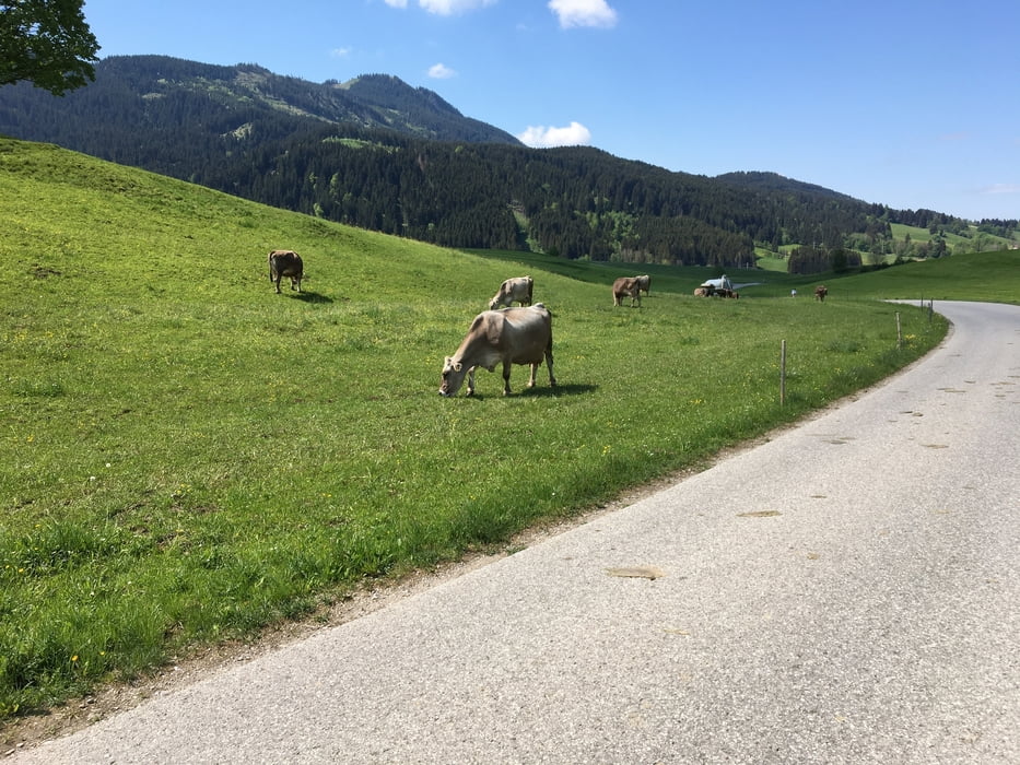
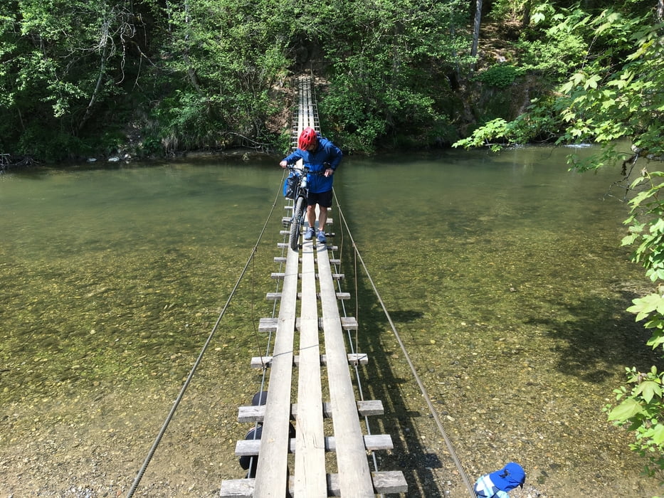
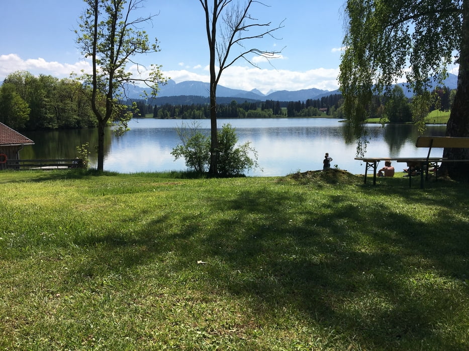
Start ist der Parkplatz unterhalb vom Friedhof. Unsere Tour führt uns durch die hügelige Landschaft zwischen Kühen und einsamen Teichen. Von Nesselwang geht es durch das Wertachtal um dieses dann bald wieder zu verlassen, recht steil nach oben auf die Hochebene. Noch einmal müssen wir hinab zur Wertach. Doch durch den Wald über rutschige Treppen auf die schmale Hängebrücke. Umgekehrt ist dieser Weg noch schwieriger. Dieses Stück haben wir unsere schweren E-MTB geschoben. Danach ist es wieder leichter zu befahren. Am Schwaltenweiher konnten wir ausgiebig Pause machen. Zum Baden wars aber noch zu kalt. Von hier aus ist es nicht mehr weit bis zum Parkplatz.
Tour gallery
Tour map and elevation profile
Minimum height 762 m
Maximum height 907 m
More about the tour author
|
|
tazzo |
Comments

Auf der Umgehungsstraße von Seeg unterhalb vom Friedhof sind zwei Parkplätze. Vom Bahnhof ist es auch nicht weit.
GPS tracks
Trackpoints-
GPX / Garmin Map Source (gpx) download
-
TCX / Garmin Training Center® (tcx) download
-
CRS / Garmin Training Center® (crs) download
-
Google Earth (kml) download
-
G7ToWin (g7t) download
-
TTQV (trk) download
-
Overlay (ovl) download
-
Fugawi (txt) download
-
Kompass (DAV) Track (tk) download
-
Track data sheet (pdf) download
-
Original file of the author (gpx) download
More about the tour author
|
|
tazzo |
Add to my favorites
Remove from my favorites
Edit tags
Open track
My score
Rate