


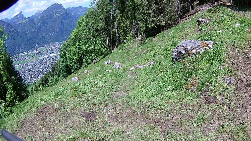
Von der Mulleren/Frohnalp nach Mollis gibts es viele Trails. Von diesem hier gibt es soweit ich sehe noch keinen Track. Er ist sehr gut zu fahren und nicht wirklich schwer, bis auf ein paar Stellen. Hoch fahre ich immer die geteerte Strasse.
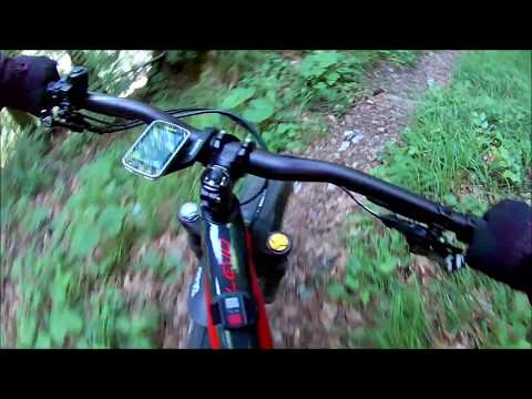
Das Video wurde auf Brusthöhe gemacht, allerdings ist die Qualität solala, es zeigt aber realtiv gut die Beschaffenheit des Trails.
Further information at
https://www.glarnerland.ch/Tour gallery
Tour map and elevation profile
Minimum height 429 m
Maximum height 1214 m
More about the tour author
|
|
luckymaaa |
Comments

Mit dem Zug bis nach Mollis
GPS tracks
Trackpoints-
GPX / Garmin Map Source (gpx) download
-
TCX / Garmin Training Center® (tcx) download
-
CRS / Garmin Training Center® (crs) download
-
Google Earth (kml) download
-
G7ToWin (g7t) download
-
TTQV (trk) download
-
Overlay (ovl) download
-
Fugawi (txt) download
-
Kompass (DAV) Track (tk) download
-
Track data sheet (pdf) download
-
Original file of the author (gpx) download
More about the tour author
|
|
luckymaaa |
Add to my favorites
Remove from my favorites
Edit tags
Open track
My score
Rate