Login

Forgot your login?

Cookies have to be accepted!
Your browser's cookie functionality is disabled. Please enable this functionality.

Not a member yet?

Register now
Login

Available for registred users only

Log in to use this feature.

Forgot your login?

Cookies have to be accepted!
Your browser's cookie functionality is disabled. Please enable this functionality.

Not a member yet?

Register now
Filter
Categories
Advanced filters
  • Distance (km)
  • Height
Save filters Reset filter

TrackRank

QRCode

Technical data

Distance17,2 km Height377 m Way down388 m Duration01:30 h:m Date20.06.2008
Scores Author Landscape Fun factor Fitness Technique

Statistics

1036 Views 1 Score 193 Downloads 4.00 Average
Rate
  • Track data sheet
  • Directions
  • Downloads

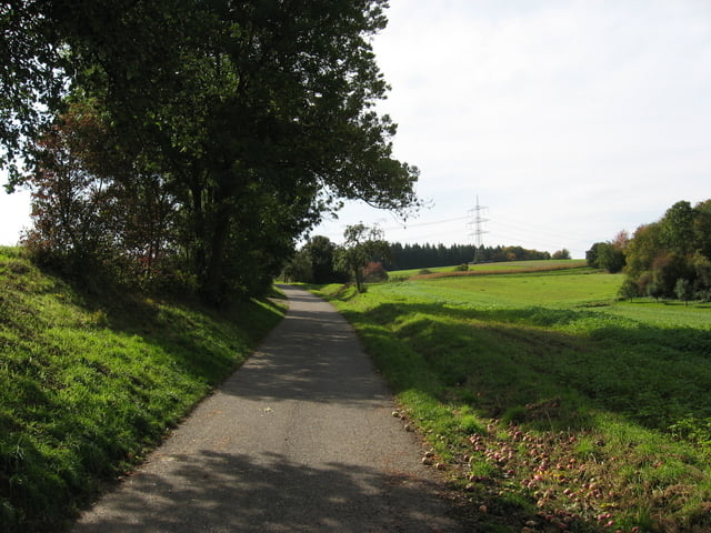
Kleine Trainingsrunde für Maountainbiker die sowieso in Wiesloch sind. Nimmt die steileren Strecken und Single-Trails mit, die dicht bei Wiesloch sind. Teilweise geht es auch über grasbewachsene Feldwege oder Schotterwege.

Zwischen PZN und Nussloch geht es etwas Zick-Zack, weil dort so schöne Trails liegen.

Further information at

http://www.wiesloch.de

Tour gallery

Tour map and elevation profile

  • Open Street Map
  • Google
Minimum height 115 m Maximum height 224 m Detailed view

More about the tour author

Foxy
Member since 2007

Send private message

Comments

entfällt, da die Runde dann interessant ist wenn man ohnehin in Wiesloch ist.

GPS tracks

Trackpoints
  • GPX / Garmin Map Source (gpx) download
  • TCX / Garmin Training Center® (tcx) download
  • CRS / Garmin Training Center® (crs) download
  • Google Earth (kml) download
  • G7ToWin (g7t) download
  • TTQV (trk) download
  • Overlay (ovl) download
  • Fugawi (txt) download
  • Kompass (DAV) Track (tk) download
  • Track data sheet (pdf) download
  • Original file of the author (gpx) download

More about the tour author

Foxy
Member since 2007

Send private message
Share track
Add to my favorites
Remove from my favorites
Edit tags
My score
Rate
Track: MTB-tour rund um Wiesloch
Type: Mountain bike
Distance: 17,2 km
Evaluated on:
Duration:
Day(s)
Hour(s)
Minute(s)
Score: Landscape Fun factor Fitness Technique