
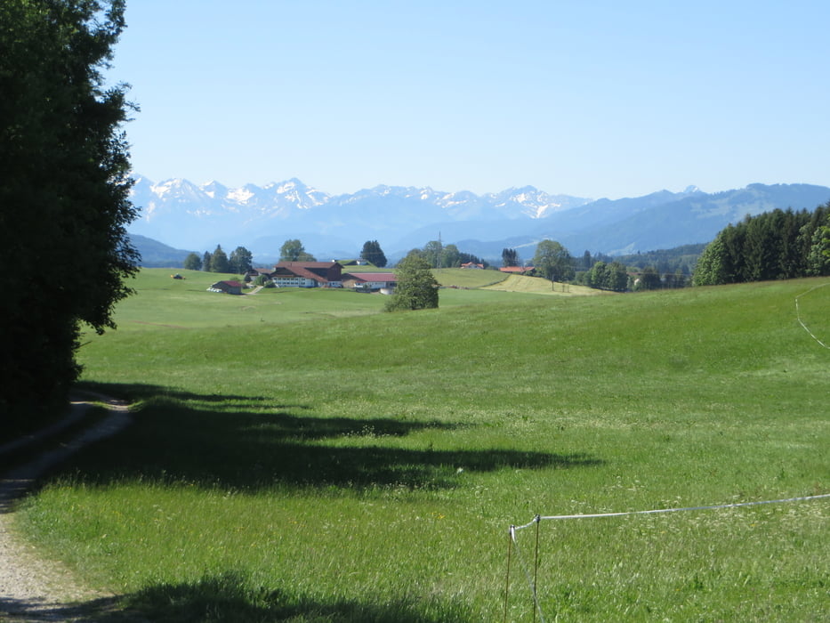

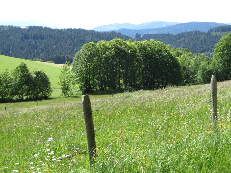
Mittelschwere Tour mit ein paar Steileinlagen. Überwiegend auf kleinen Teerstraßen oder Feldwege. Die Waldwege habens teilweise in sich. Der Gipfel Hohenkapf ist leider dicht bewaldet und man sieht: nix. Die guten Aussichten sind immer wieder unterwegs. Den Weg zum schwarzen Grat haben wir uns wegen Überfüllung gespart. Das Eschbachtal wär schön, doch leider müssen wir auf der kleinen Straße fahren. Auf der Passhöhe gibt es dann wieder einen Radweg.
Tour gallery
Tour map and elevation profile
Minimum height 666 m
Maximum height 1112 m
More about the tour author
|
|
tazzo |
Comments

In Kempten kann man am Freibad gut parken.
GPS tracks
Trackpoints-
GPX / Garmin Map Source (gpx) download
-
TCX / Garmin Training Center® (tcx) download
-
CRS / Garmin Training Center® (crs) download
-
Google Earth (kml) download
-
G7ToWin (g7t) download
-
TTQV (trk) download
-
Overlay (ovl) download
-
Fugawi (txt) download
-
Kompass (DAV) Track (tk) download
-
Track data sheet (pdf) download
-
Original file of the author (gpx) download
More about the tour author
|
|
tazzo |
Add to my favorites
Remove from my favorites
Edit tags
Open track
My score
Rate