Login

Forgot your login?

Cookies have to be accepted!
Your browser's cookie functionality is disabled. Please enable this functionality.

Not a member yet?

Register now
Login

Available for registred users only

Log in to use this feature.

Forgot your login?

Cookies have to be accepted!
Your browser's cookie functionality is disabled. Please enable this functionality.

Not a member yet?

Register now
Filter
Categories
Advanced filters
  • Distance (km)
  • Height
Save filters Reset filter

TrackRank

QRCode

Technical data

Distance45,2 km Height884 m Way down881 m Duration02:50 h:m Date07.06.2020
Scores Author Landscape Fun factor Fitness Technique

Statistics

222 Views Scores 51 Downloads Average
Rate
  • Track data sheet
  • Directions
  • Downloads

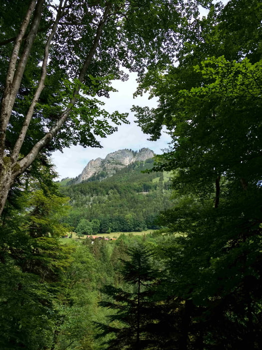
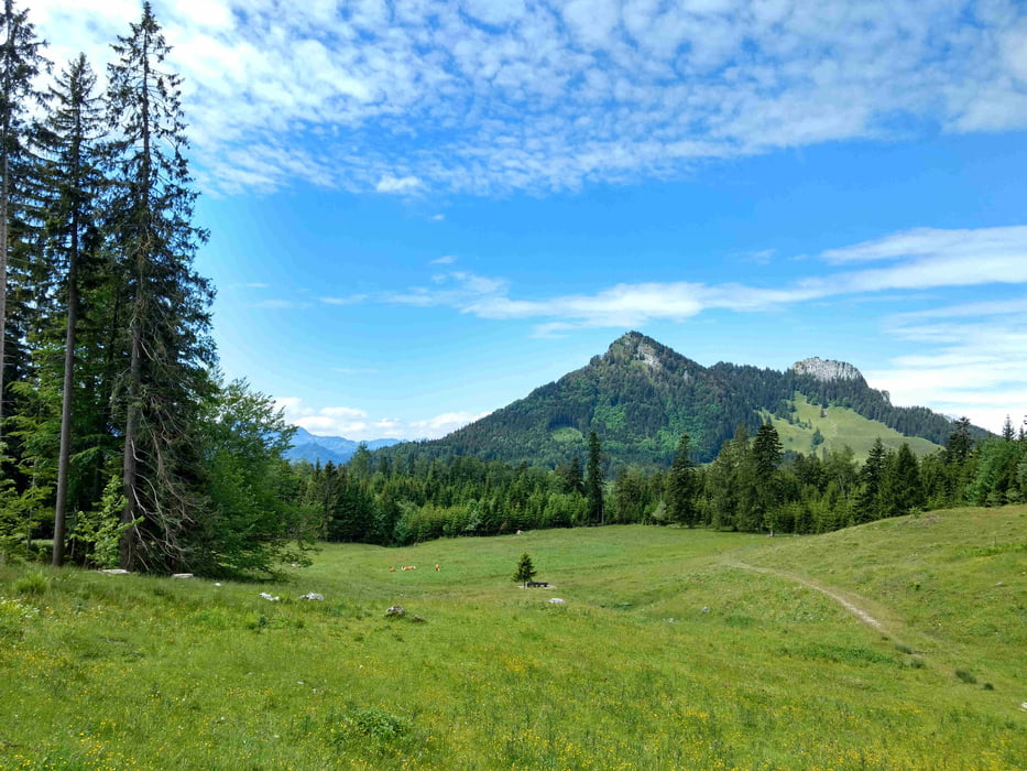
Mountainbike Windshausen Wagner Alm 45 Km 850 HM
 

Abwechslungsreiche Mountainbiketour im Inntal auf Schotter und Teer mit herrlichen Ausblicken.

Ausgangspunkt mit Parkmöglichkeit wäre z.B. am Tinninger See ( Bademöglichkeit und Kiosk ) oder Hochstrasser See.

[45 km, 850 hm]
 

Tour gallery

Tour map and elevation profile

  • Open Street Map
  • Google
Minimum height 445 m Maximum height 1055 m Detailed view

More about the tour author

Triathlet53
Member since 2016

Send private message

Comments

GPS tracks

Trackpoints
  • GPX / Garmin Map Source (gpx) download
  • TCX / Garmin Training Center® (tcx) download
  • CRS / Garmin Training Center® (crs) download
  • Google Earth (kml) download
  • G7ToWin (g7t) download
  • TTQV (trk) download
  • Overlay (ovl) download
  • Fugawi (txt) download
  • Kompass (DAV) Track (tk) download
  • Track data sheet (pdf) download
  • Original file of the author (gpx) download

More about the tour author

Triathlet53
Member since 2016

Send private message
Share track
Add to my favorites
Remove from my favorites
Edit tags
My score
Rate
Track: Inntalrunde mit Abstecher in die Berge
Type: Mountain bike
Distance: 45,2 km
Evaluated on:
Duration:
Day(s)
Hour(s)
Minute(s)
Score: Landscape Fun factor Fitness Technique