


Von Wellheim, z.B. am Kletterparkplatz geht es in das kleine Tal. Von hier aber nicht auf der Strasse sondern durch den Wald auf und ab. Später fahren wir noch über Wiesen und vorbei an Äcker, nicht immer leicht zu treten. Bis nach Treuchtlingen zieht es sich wenns Wetter nicht so schön ist. Ab Treuchtlingen dann immer der Altmühl abwärts bis Dollnstein, leider ist man da nicht mehr einsam auf den Wegen unterwegs. Nach Wellheim dann auf der alten Bahntrasse nzurück zum Parkplatz.
Fahrzeit mit den E-MTB.
Tour gallery
Tour map and elevation profile
Minimum height 393 m
Maximum height 561 m
More about the tour author
|
|
tazzo |
Comments

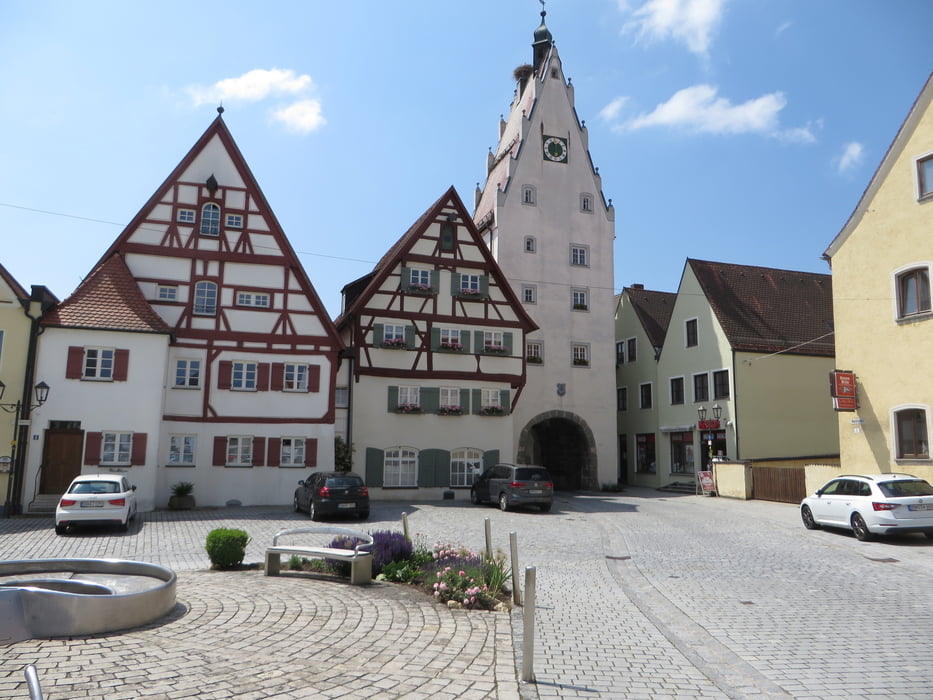
Wellheim liegt zwischen Rennertshofen (Donau) und Dollnstein (Altmühl)
GPS tracks
Trackpoints-
GPX / Garmin Map Source (gpx) download
-
TCX / Garmin Training Center® (tcx) download
-
CRS / Garmin Training Center® (crs) download
-
Google Earth (kml) download
-
G7ToWin (g7t) download
-
TTQV (trk) download
-
Overlay (ovl) download
-
Fugawi (txt) download
-
Kompass (DAV) Track (tk) download
-
Track data sheet (pdf) download
-
Original file of the author (gpx) download
More about the tour author
|
|
tazzo |
Add to my favorites
Remove from my favorites
Edit tags
Open track
My score
Rate